Wildlands Trust
658 images1 video
South Shore and South Coast of Massachusetts
52 images
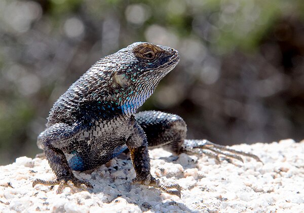
Birds

180 images1 video
Interesting Places
427 images
Cranland Airport, Hanson, MA

81 images
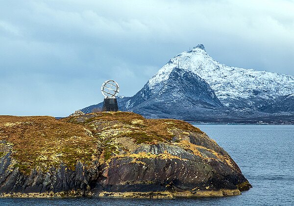
Norway and the Lofotens
92 images
Ships, boats, bridges, etc.

47 images
Nature
253 images1 video
Hanson, MA 02341
216 images
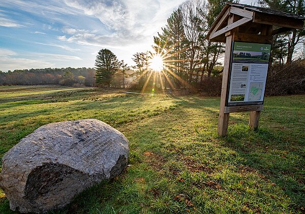
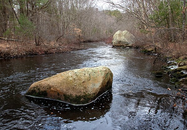
Indian Head River Trail
During the buildout, the Indian Head River Trail Alliance (IHRTA) was established and it is composed of representatives from Wildlands Trust, The North South River Watershed Association, Town of Hanover, Town of Hanson, Town of Pembroke, and Plymouth County. The role of the alliance is to monitor the trail, recommend and execute required maintenance, meet on a periodic basis, etc.
Following completion of this work in late 2021, the area now has over six and a half continuous miles of trail, connecting 325 acres of conservation land along the Indian Head and North rivers. The neighboring trail systems of Wildlands Trust’s Tucker Preserve, Hanover’s Chapmans Landing - Iron Mine Brook, and the Mattakeeset Trail are now linked with the Indian Head River Trail, offering one complete loop of these conservation properties.
https://www.nsrwa.org/indian-head-river-restoration-project-update/
The photos in the gallery below are less about the trail itself and more about what can be seen while hiking the trail.
97 images
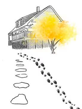
A Bear Just Knows - By Maggie Downey and Matthew MacDonald | A Bear Just Knows
Stellwagen Bank
The Stellwagen Bank National Marine Sanctuary is one of 14 marine preserves in the National Marine Sanctuary system. It is located off the coast of Massachusetts, 25 miles east of Boston, and covers a 842-square-mile area.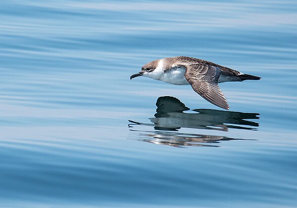
417 images
Burrage Pond Wildlife Management Area
This area was once known as the Great Cedar Swamp until lumber, industrial, and agricultural endeavors transformed the landscape to what we see today. After all of the cedar trees had been harvested, Albert C. Burrage purchased sections of this area in the early 1900’s and built a large factory on a 40 acre site at what is now the corner of Pleasant and Hawkes Ave. This industrial complex consisted of 4 factory buildings, offices, workers homes as well as a small hotel. After a large fire in 1919, the factory was closed and next came large scale cranberry farming which continued till 2002 when the property (1600+ acres) was purchased by the Mass Division of Fisheries and Wildlife.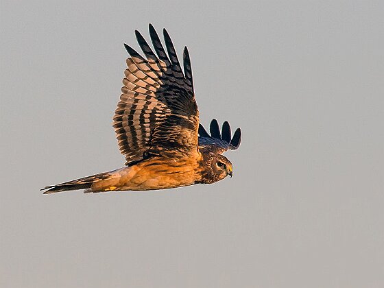
122 images
Glass Negatives
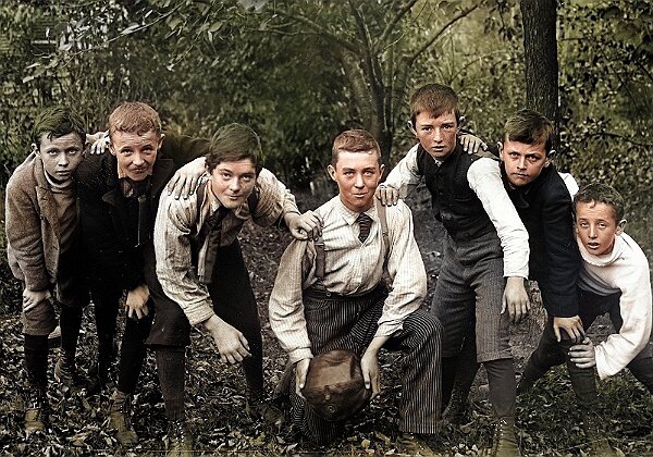
5 images