Indian Head River Trail

Labels

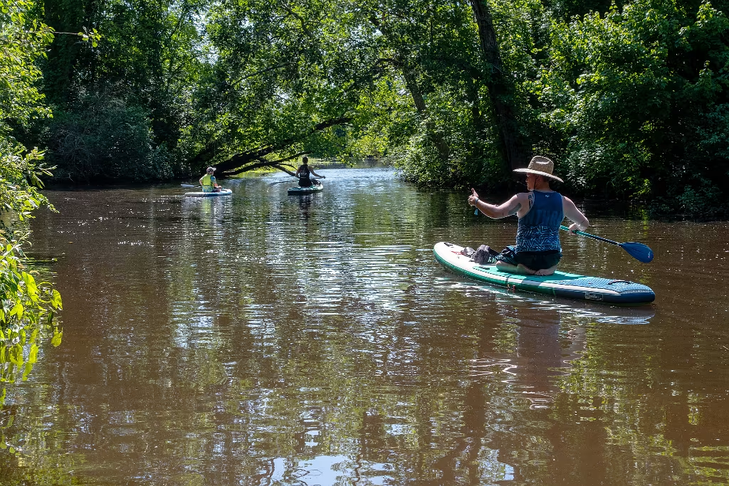
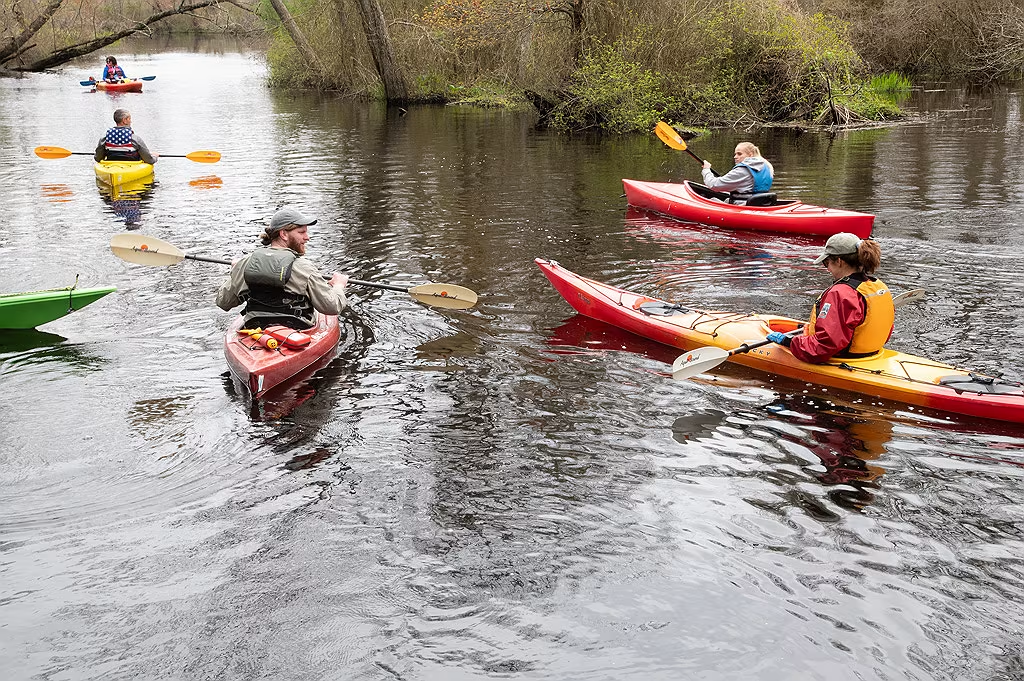
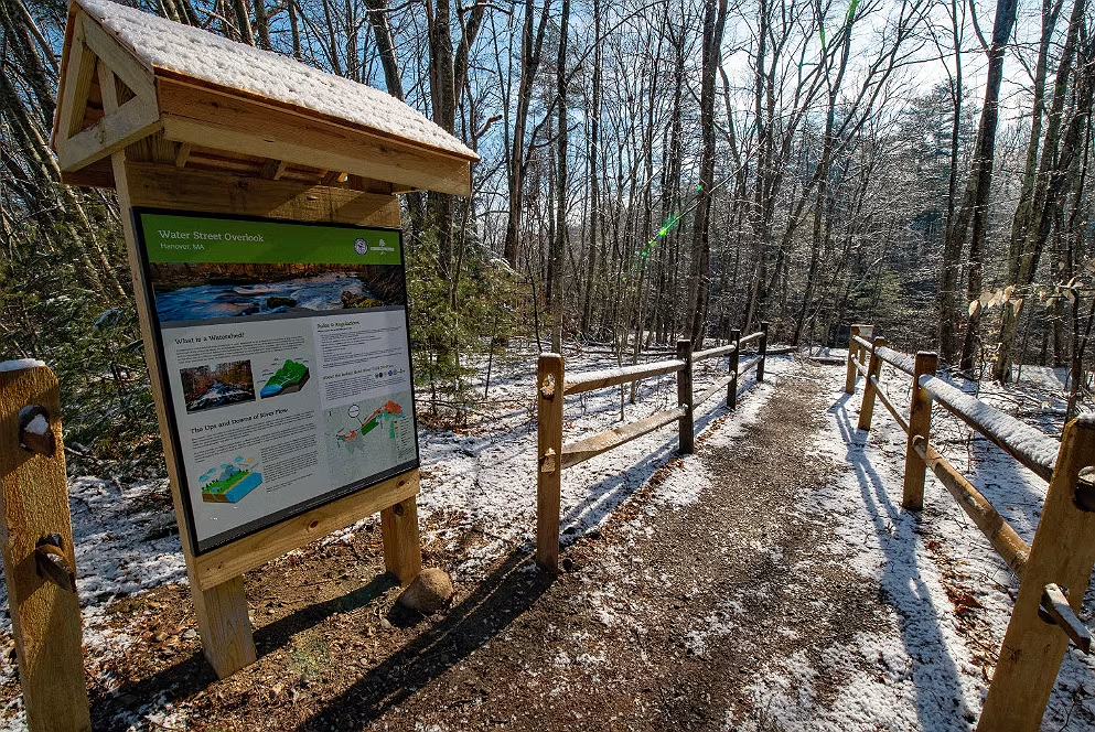
Lower Indian Head River Photos

Photos in this first section were taken between the Chapmans Landing Conservation area and the Ludden's Ford Dam and impoundment pond.  This section of the river is where Iron Mine Brook joins the Indian Head River.
Mattakeeset Trail

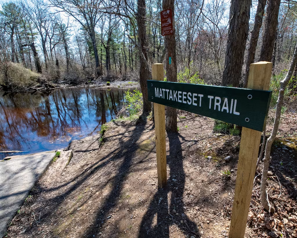
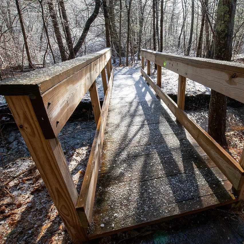
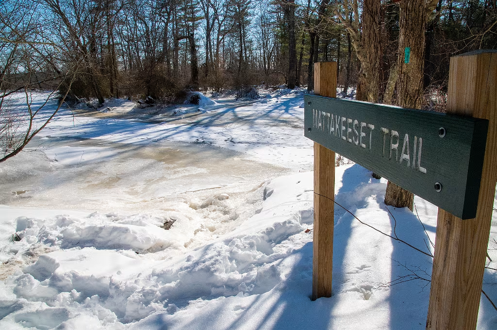
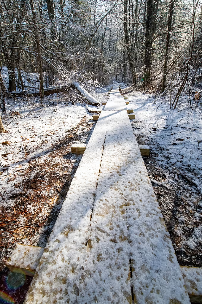
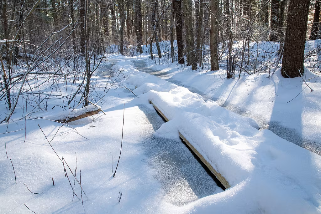
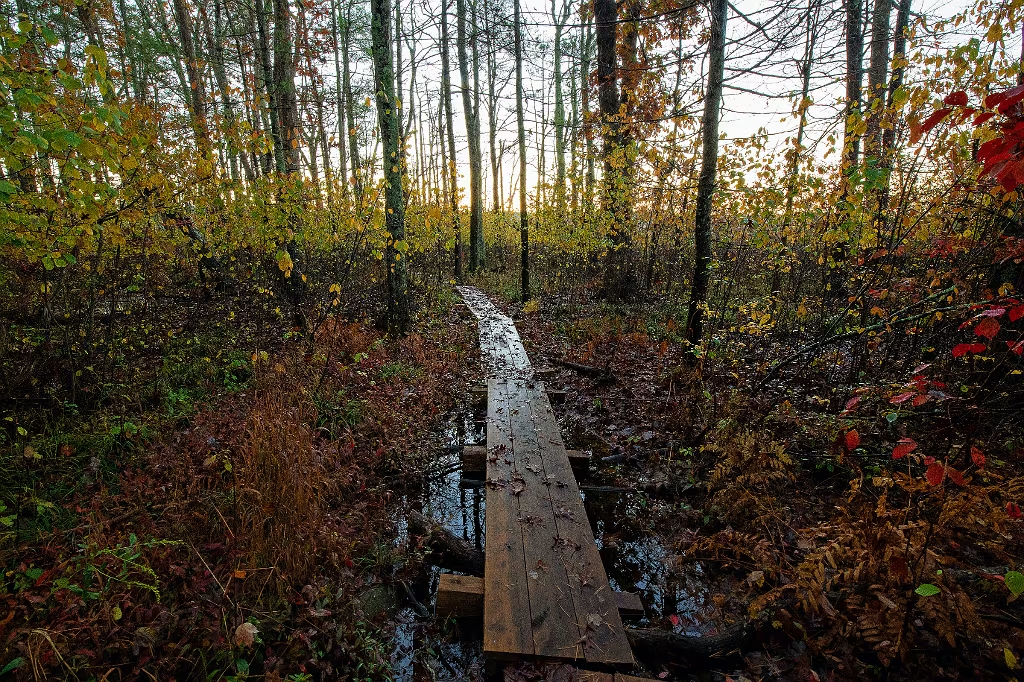
Entrance to the Mattakeeset trail at the MASS DCR boat ramp on the Indian Head River. Trail runs across Plymouth County land between West Elm and the boat ramp. Connections here to the Chapmans Landing and Iron Mile Brook trails.  All three of the trails listed here are considered part of the Indian Head River Trail system.

Iron Mine Brook at the Indian Head River

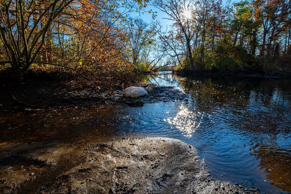
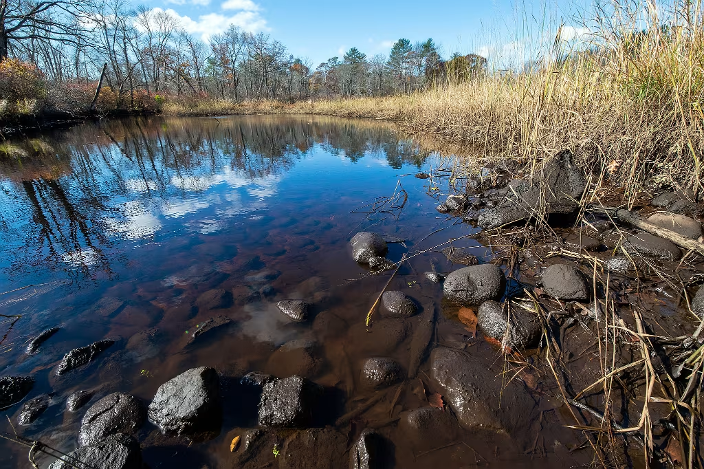
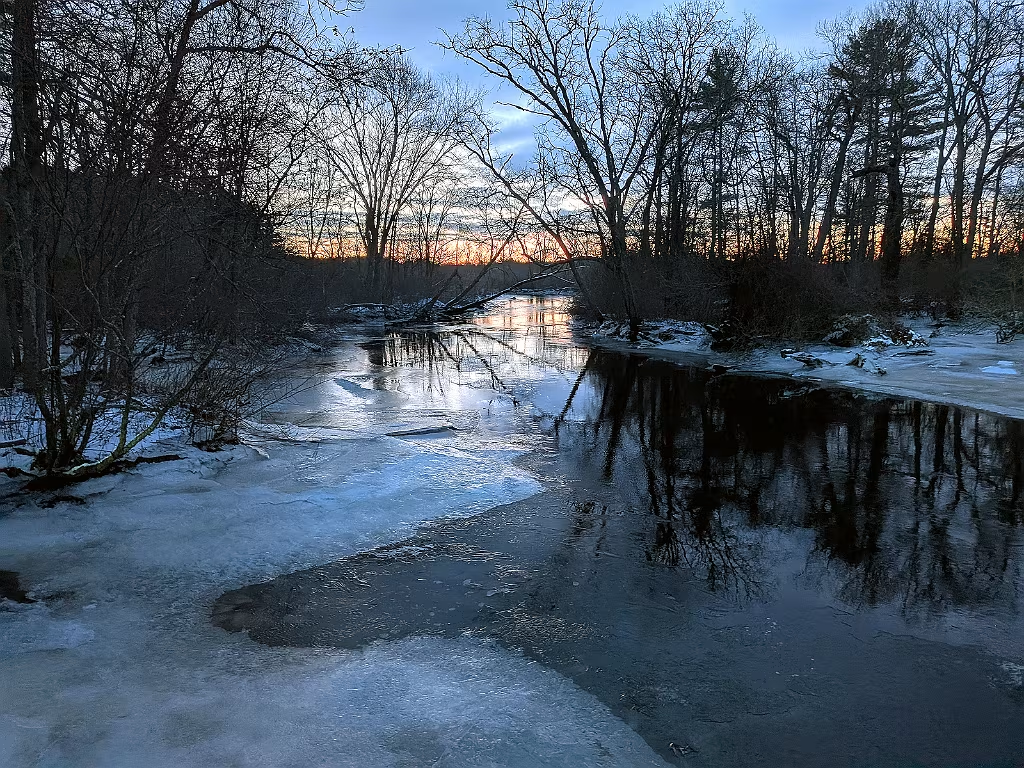
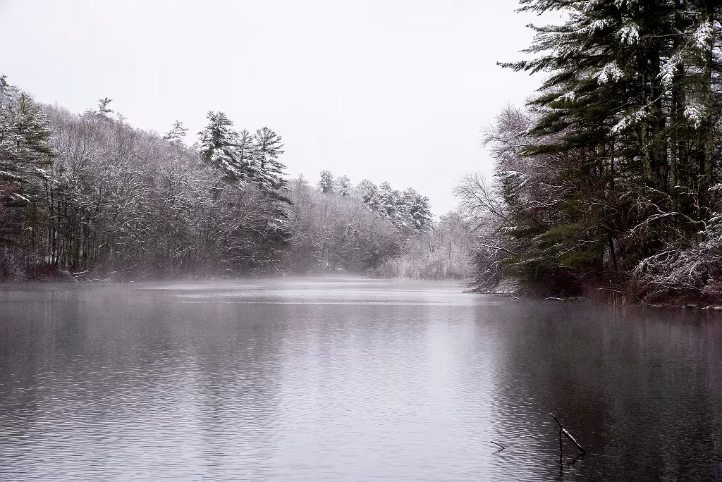
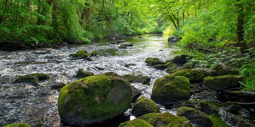
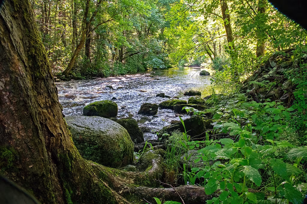
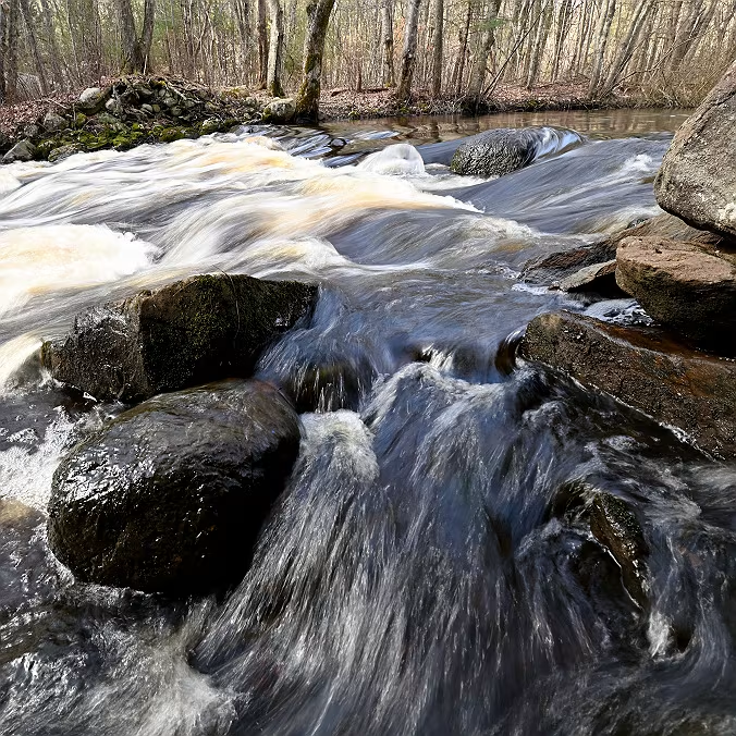
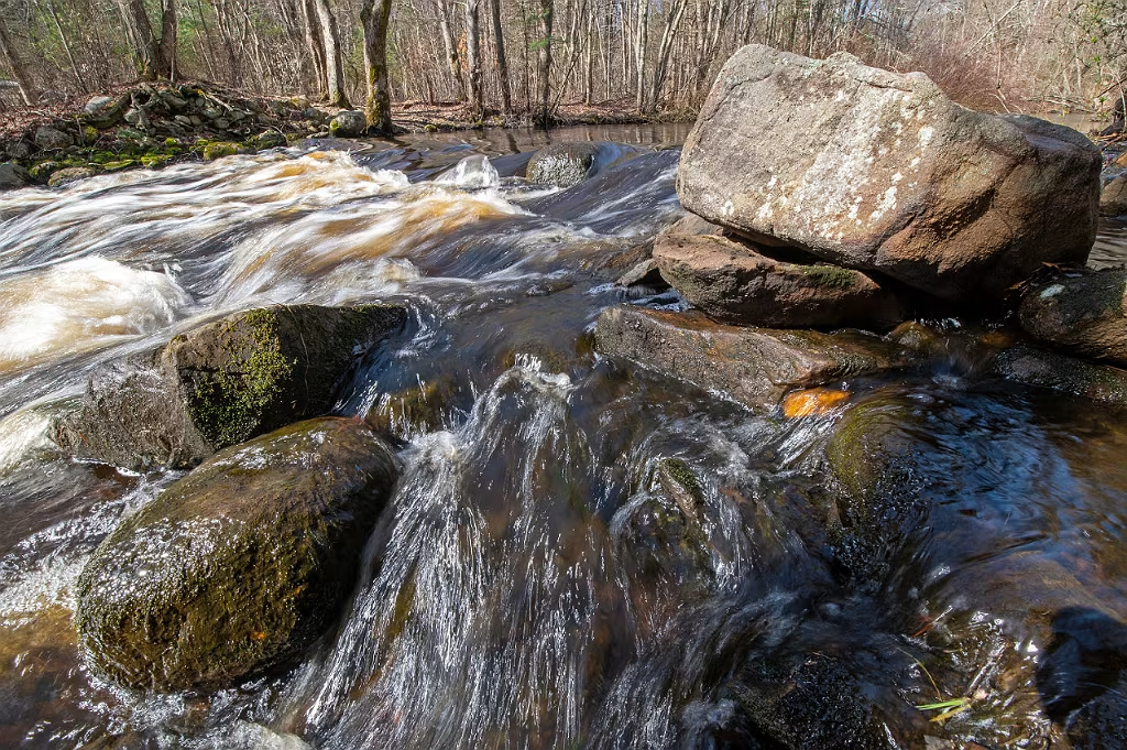
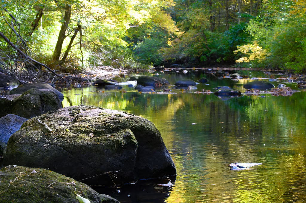
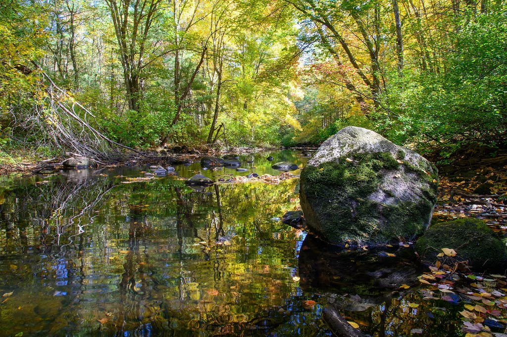
Even though this is 12 miles inland from the mouth of the North River, the ocean tide still has impact. Here, adjacent to the MASS DCR boat ramp in Hanover, Iron Mine Brook empties into the Indian Head River at low tide.

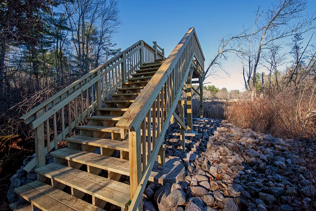
Newly created view platform constructed by volunteers and Hanover Open Space Committee. This platform overlooks the North River from Chapman's Landing Trail.

Indian Head River Oct 2022

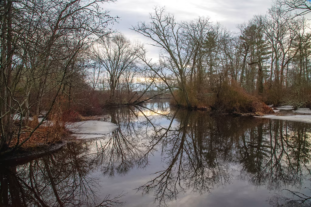
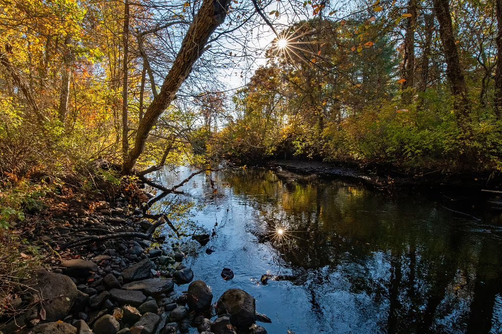
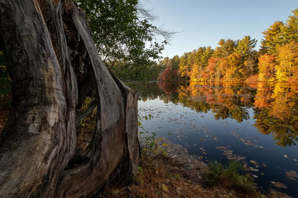
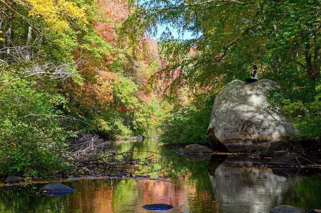
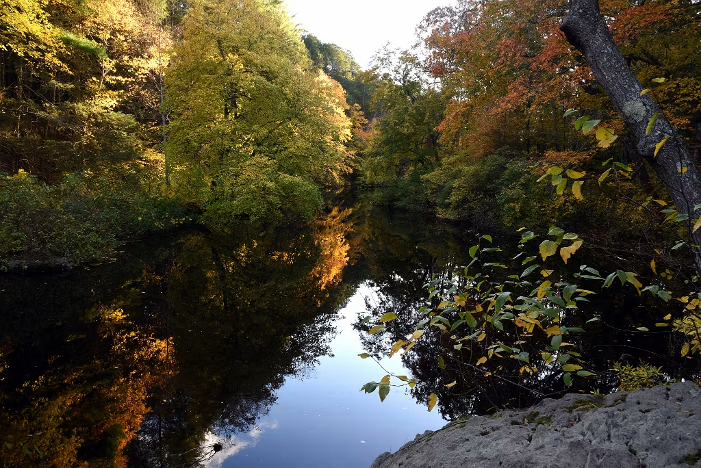
Looking east along the Indian Head River from Chapman's Landing in Hanover. Just beyond the furthest bend in the distance would be where the Indian Head River joins with the North River.

Indian Head River Oct 2022
Same vantage point but now looking west or upstream along the Indian Head River.
Iron Mine Brook Bridge
Just beyond the entrance to the Chapman's Landing trail head, this small bridge crosses over the Iron Mine brook.
Mattakeeset Trail
Indian Head River just west of where it joins the North River. Located at the Mass State boat ramp in Hanover, it's also the end of the Mattakeeset Trail.
Sunrise on the Indian Head River

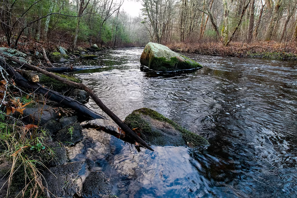
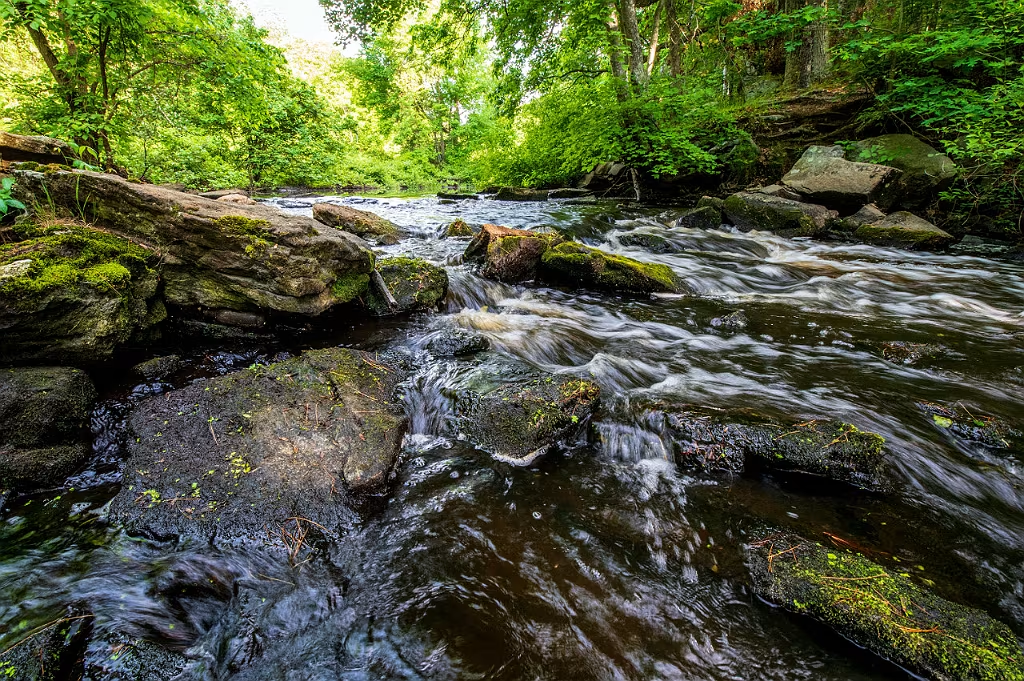
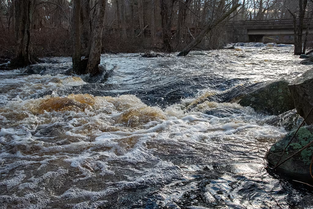
At the MASS DCR boat ramp.

Early 2026 sunrise - Indian Head River
Jan 2026 sunrise over the IHR at the Hanover boat launch.
Lower Indian Head River
At Chapmans Landing and the Mass DCR boat launch located on Indian Head Drive in Hanover.
NSRWA Spring Paddle
NSRWA spring paddle on the Indian Head River in May 2024 leaving the public boat launch in Hanover
Mattakeeset Trail

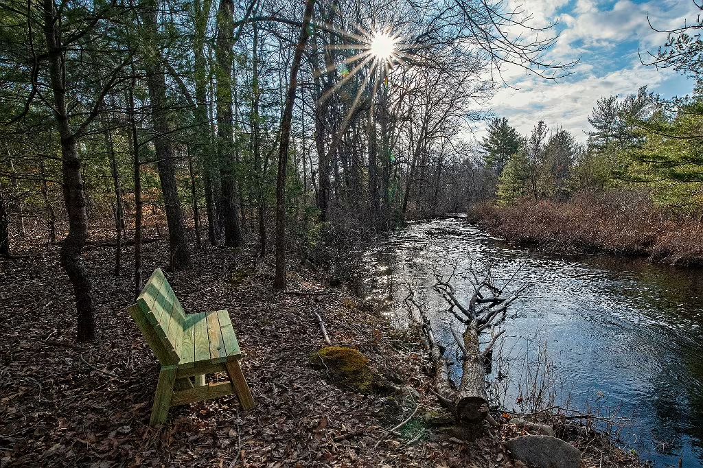
Wildlands Trust installed this bench beside the Indian Head River along the Mattakeeset Trail.
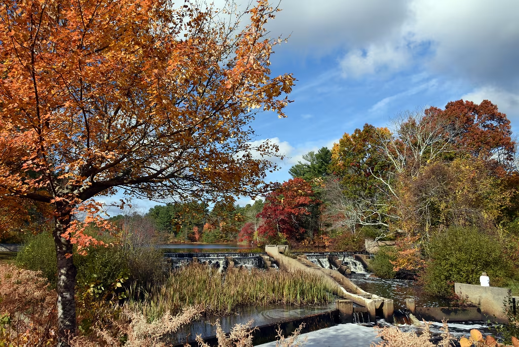
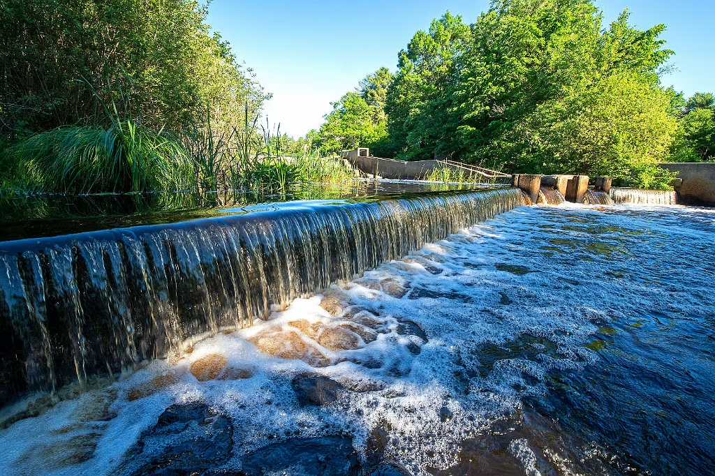
Chapmans-Landing-2
The installation of boardwalks installed at Chapman's landing were the result of a collaborative effort by Wildlands Trust, Hanover Open Space Committee, and several volunteer groups.
Chapmans-Landing-3
Boardwalk through the initial portions of the Chapman's Landing trail raise the walking surface above a seasonably muddy section of the trail. This portion of the trail passes between remnants of man made berms that causes water to collect on the trail.
Lower Indian Head River
IndianHead river at low tide near the Mass State boat ramp in Hanover.
Morning Light at Chapman's Landing
After several days of rain, the benefits provided by the newly installed bog boards are evident.

Ludden's Ford

The section of the Indian Head River where it passes under West Elm Street is known as Ludden's Ford (also known as Luddum's Ford).    This the former industrial site (photos below) of the Clapp Rubber Company which had factory buildings on both sides of the dam.    Because of this dam, a large impoundment pond formed which extends a good distance upstream on the Indian Head River. The combination of the dam and pond results higher temperatures of the impounded water by as much as 10 degrees, it traps sediments, and impedes the passage of fish, amphibians, reptiles, and invertebrates in both directions. The North South River Watershed Association (NSRWA) is working on a plan to address the many negative impacts this dam may be having on the lower Indian Head River.
Ludden's Ford dam on the Indian Head River

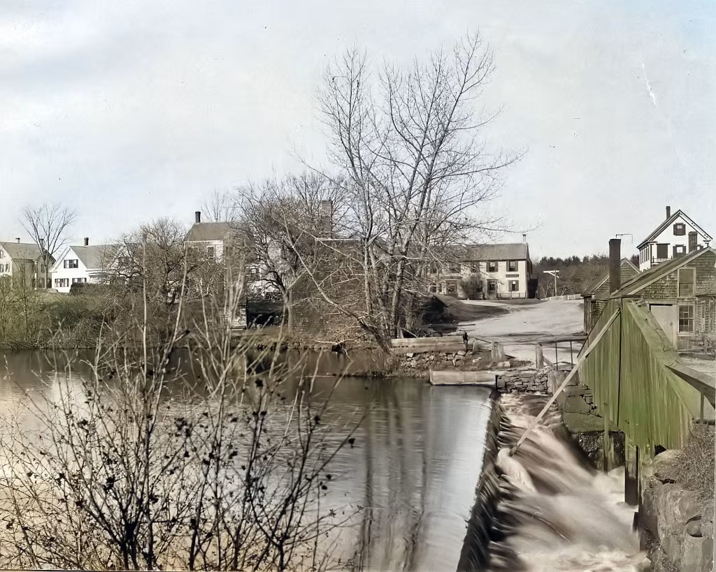
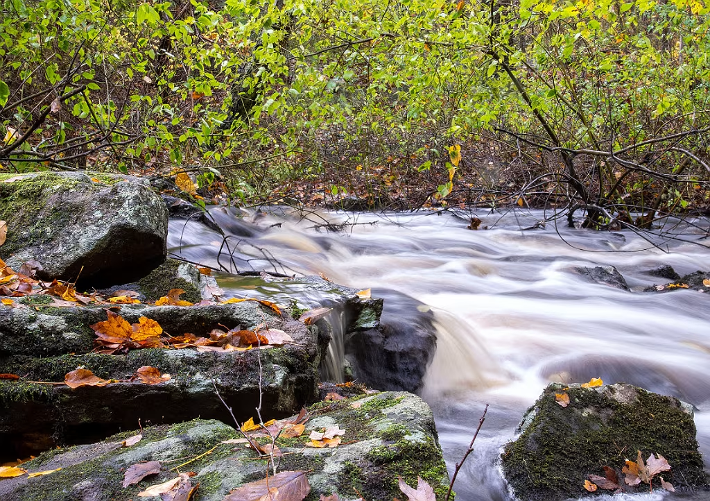
Luddam's Ford Dam looking towards the Wildlands Trust Tucker Preserve.

Ludden's Ford
The old dam and fish ladder at Luddam's Ford on the Hanover Pembroke line.
Indian-Head-River-0026
Dam at Luddam's Ford
Nice for a Photo - Bad for the River
Ludden's Ford

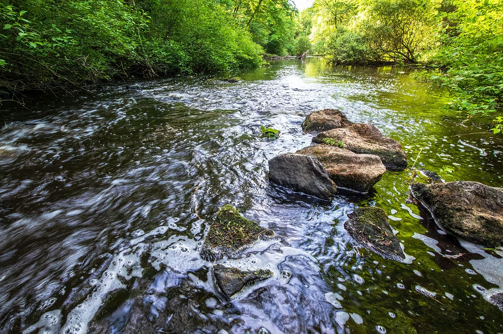
Looking from the Pembroke side

Indian Head River - Feb 2025

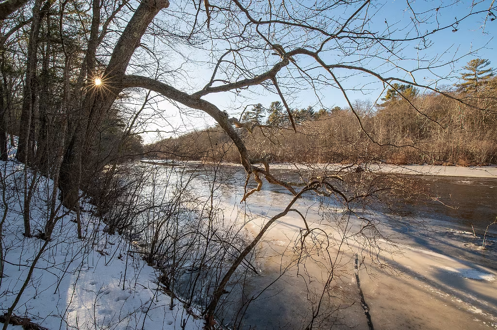
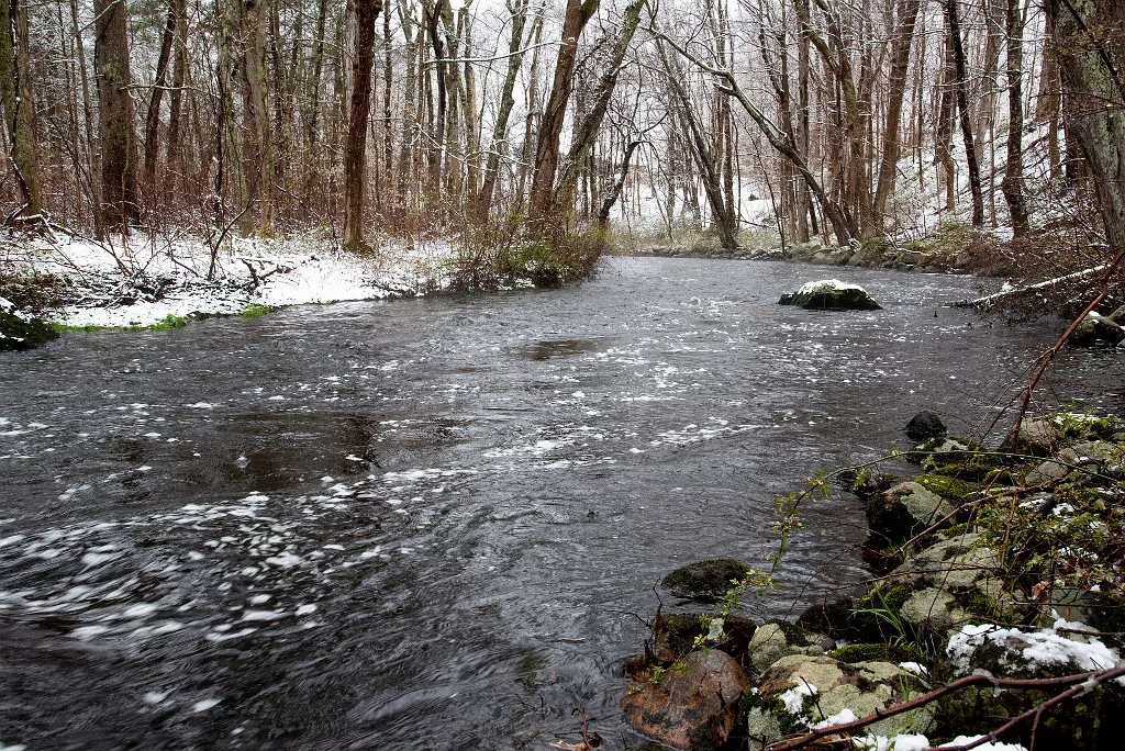
Indian Head River from Wildlands Trust Tucker Preserve - Feb 2025

Clapp Rubber Factory

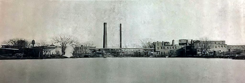
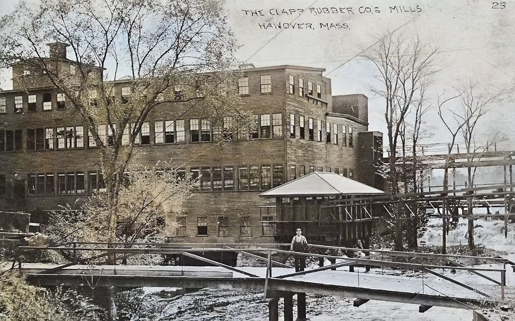
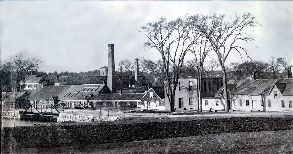
Clapp Rubber Factory looking east and downstream. Pembroke would be to the right and Hanover to the left.

Clapp Rubber Factory
Clapp Rubber looking west from the West Elm Street bridge. Large building is on the Pembroke side.
Indian Head River Tucker Preserve

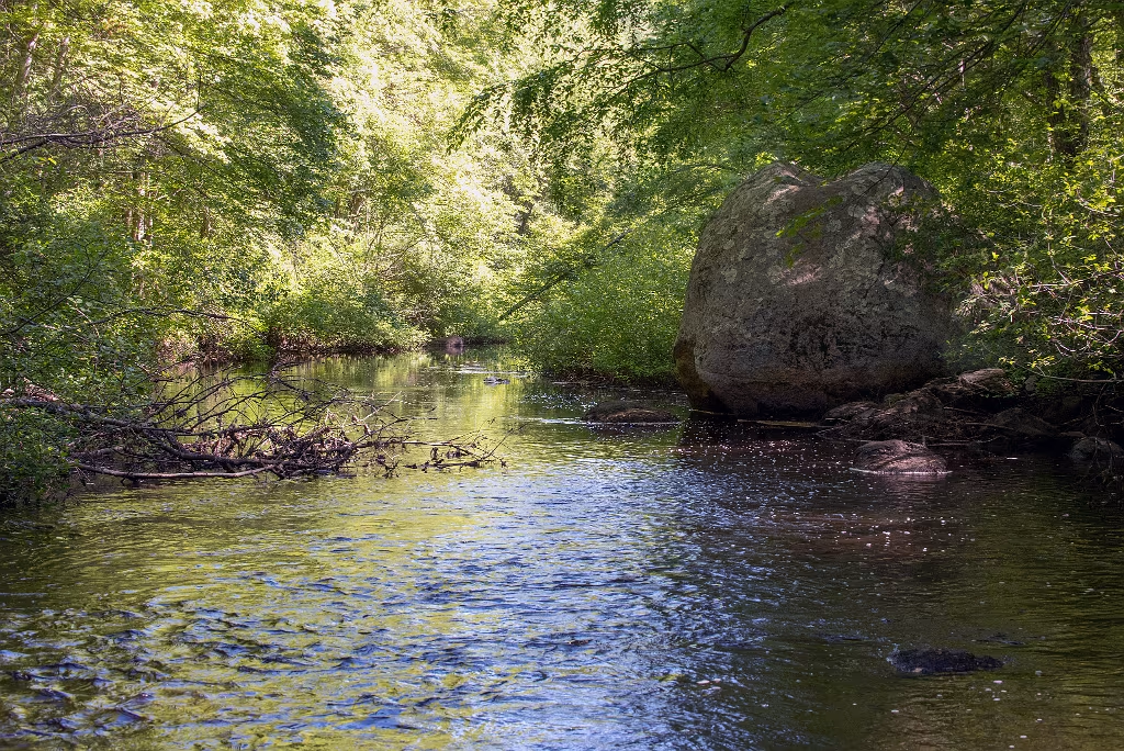
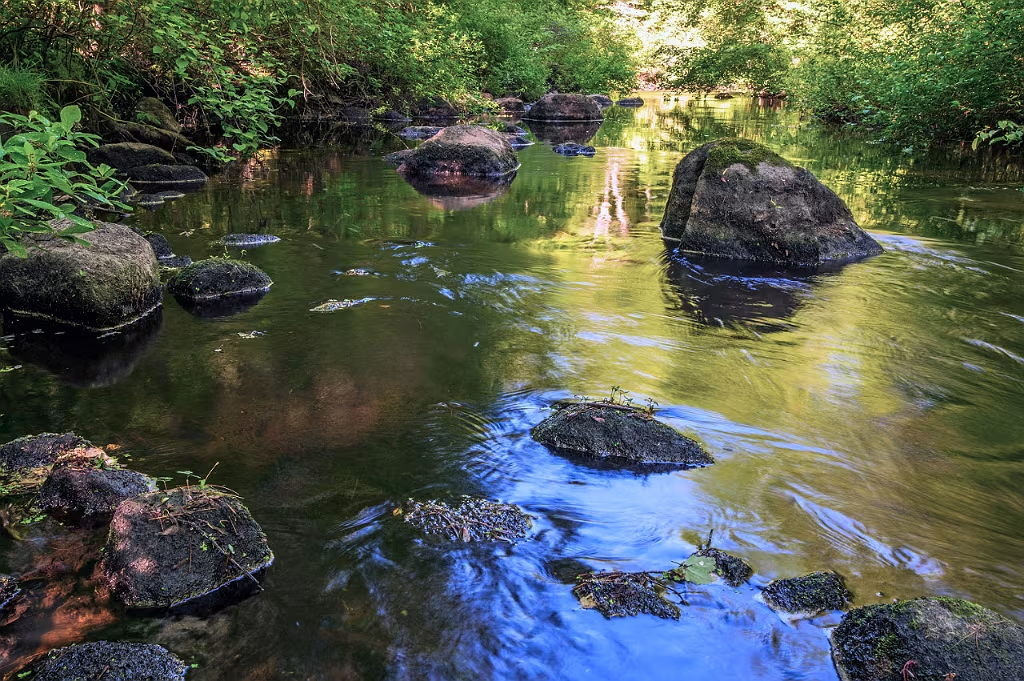
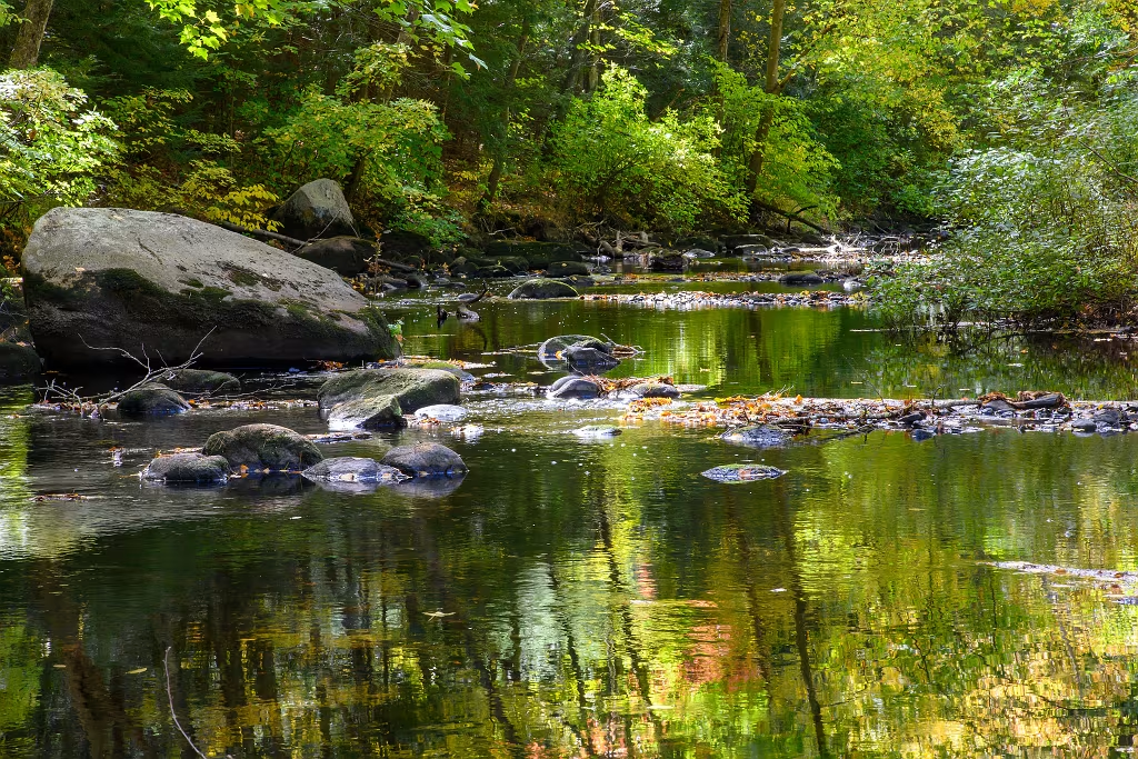
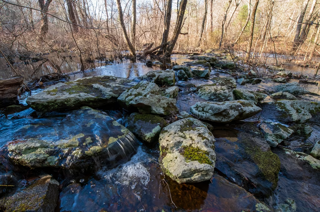
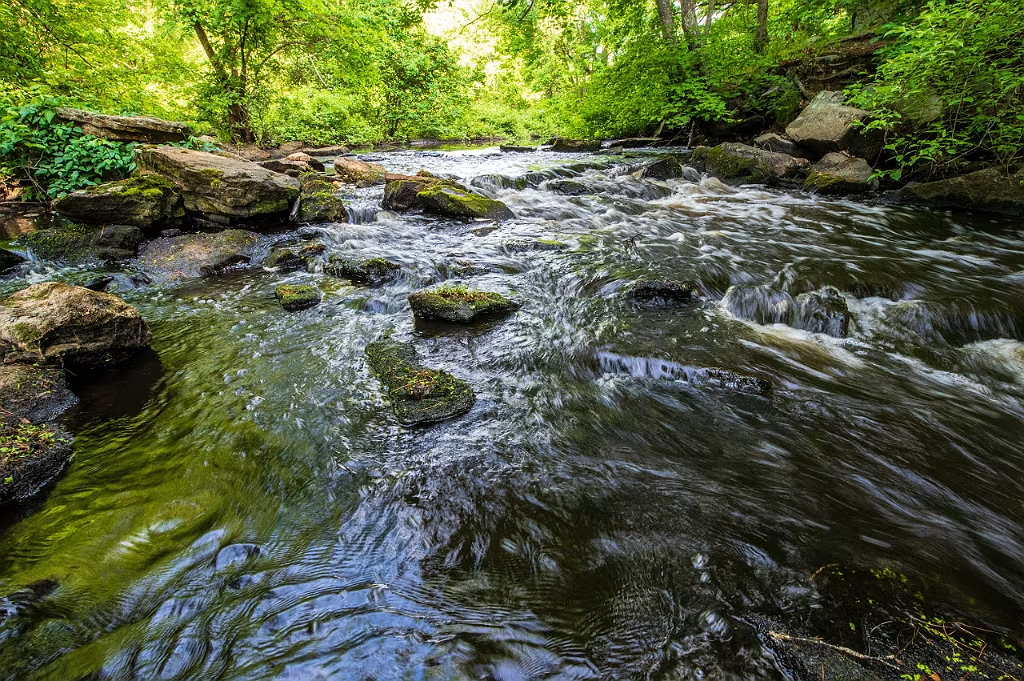
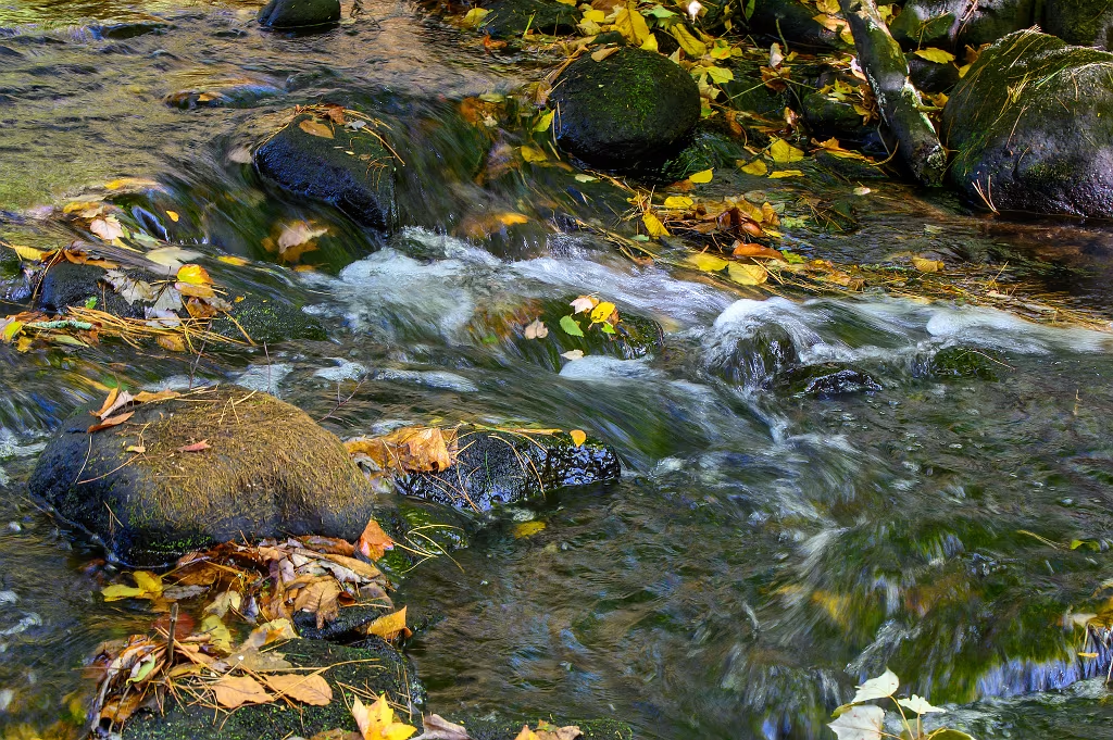
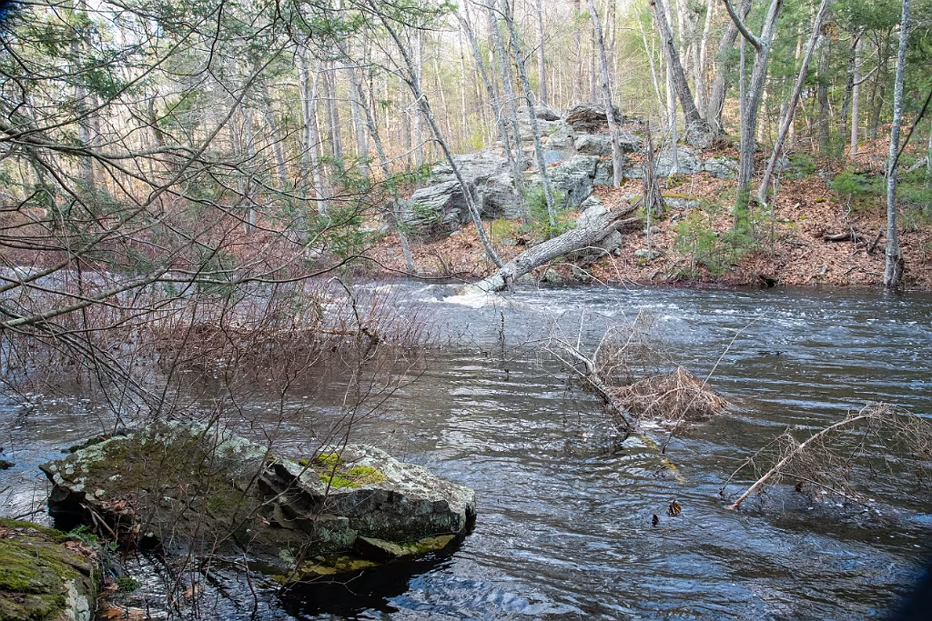
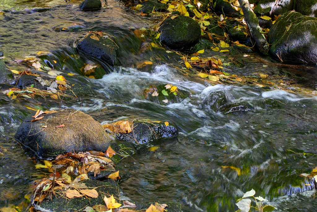
Impoundment pond just upstream from the Luddam's Ford dam on the Indian Head River.
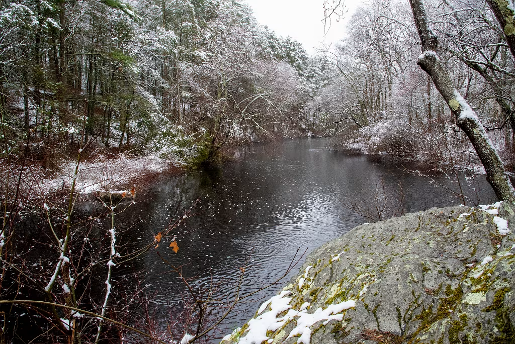
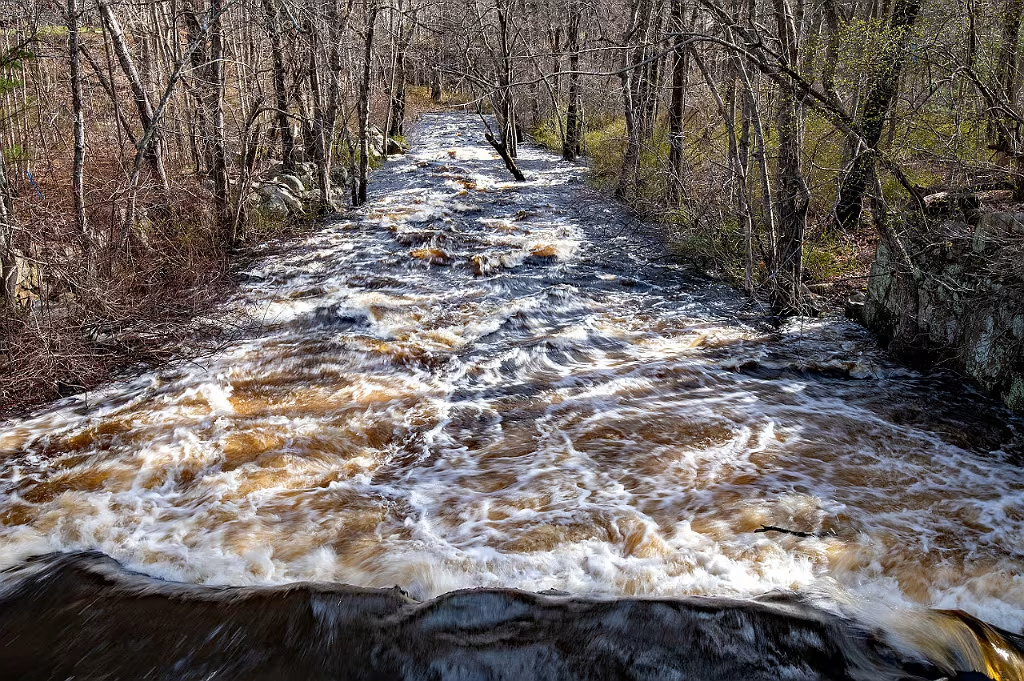
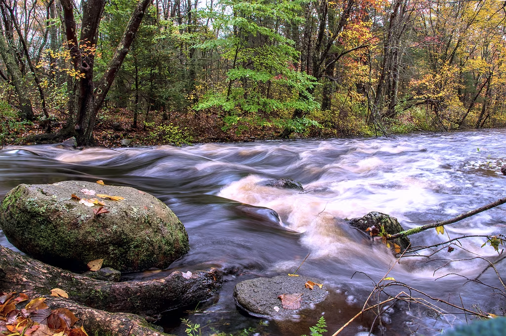
River Otter Indian Head River.
River Otter at Tucker Preserve along the Indian Head River in Pembroke MA.
River Otter Indian Head River.
River Otter on the Indian Head River in Pembroke MA.
River Otter - Indian Head River
River otter on the Indian Head river in Pembroke/Hanover Ma. This is just off the shore from the Wildlands Trust Tucker Preserve.
River Otter -Indian Head River
River Otter eating a fish on the Indian Head River that forms part of the border between Hanover and Pembroke MA.
Fall Foliage at Luddam's Ford.
Looking west along the Indian Head River from the Hanover side at Luddam's Ford.
Moving upstream the impoundment pond narrows down and and the river shallows. This is where the more natural side of the river is seen as it passes by the Wildlands Trust Tucker Preserve, Town of Hanover conservation land, the Waterman Tack Factory, and a large section of private land.  Of particular intrest in this section are several large glacial erratics lying in the river.
Indian Head River - Hanson Hanover
Just a bit further to the east is this spectacular glacial erratic plunked right on the edge of the Indian Head River in Pembroke MA.
Indian Head River - Hanson Hanover
Looking down from IHRT as it passes through Wildlands Trust Tucker Preserve. Indian Head River below. Pembroke MA.
Indian Head River

Christmas Day 2023

Old river crossing

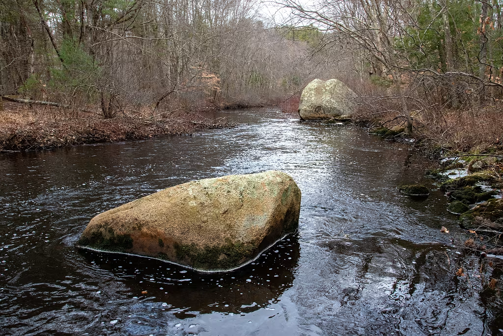
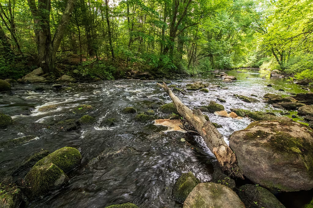
Old fording spot along the river.

Indian Head River
Large glacial erratic seated along the edge of the Indian Head River, Pembroke MA.
Indian Head River

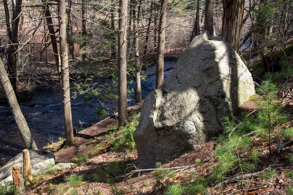
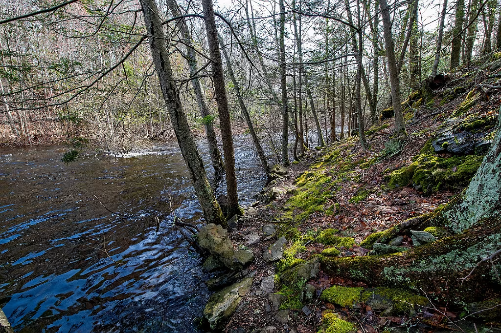
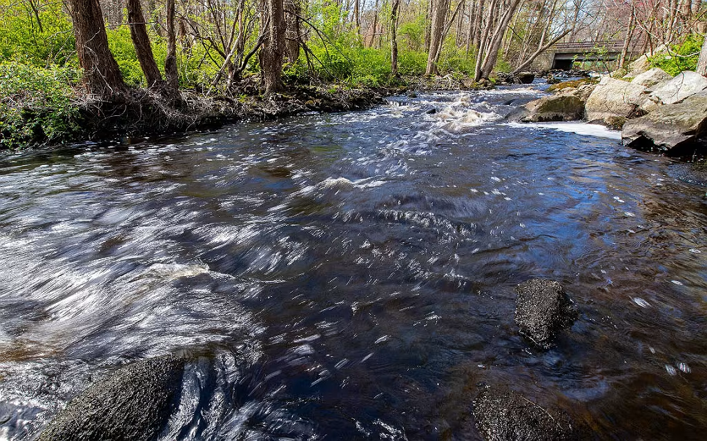
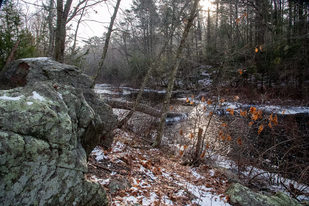
Indian Head River in Hanover looking upstream and to the west. Immediately on the other side of the river is the Wildlands Trust Tucker Preserve.

Indian-Head-River-1015.jpg

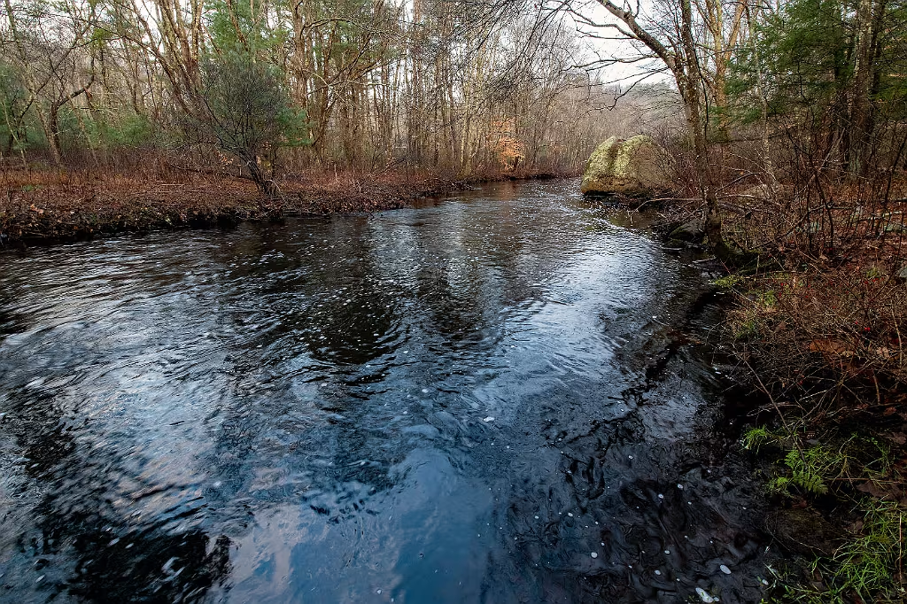
Early morning looking east along the Indian Head River in Pembroke.

Indian Head River Erratic
Quiet section of the river looking east towards a large glacial erratic.
Near the Waterman Tack Factory
Indian Head River near the Waterman Tack Factory. This is from the Wildlands Trust Tucker Preserve side of the river.
Indian Head River - Hanson Hanover
Site of the R.C. Waterman Tack Factory and breached dam (Hurricane of 1938) along the Indian Head River.
Watermans Tack Factory
Looking east along the Indian Head River from the Wildlands Trust Tucker Preserve. The Waterman Tack factory is directly across the river.
Indian Head River Hanson
Indian Head River in Pembroke looking upstream to the west.
Indian Head River trail in Hanover.
Section of the Indian Head River Trail (IHRT) in Hanover. The full loop passes through Hanover, Hanson, and Pembroke.

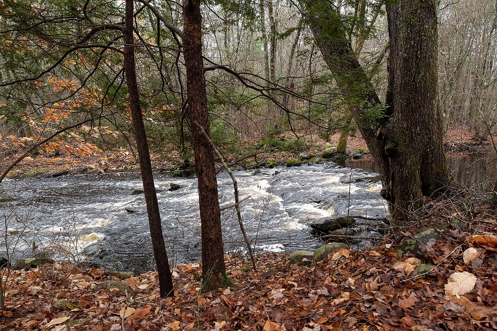
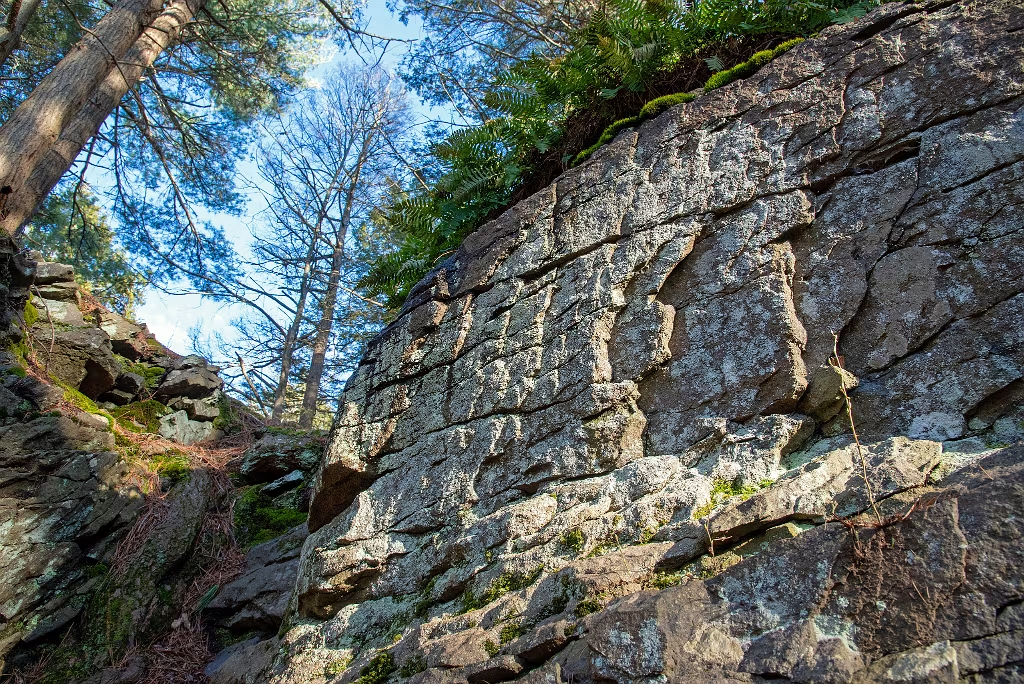
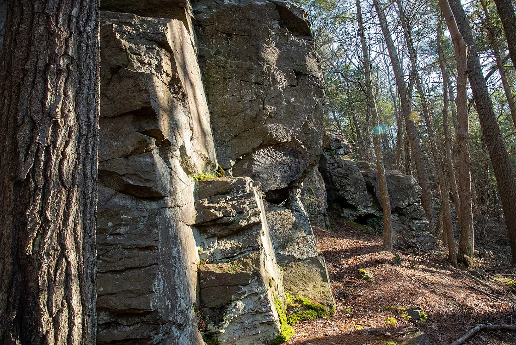
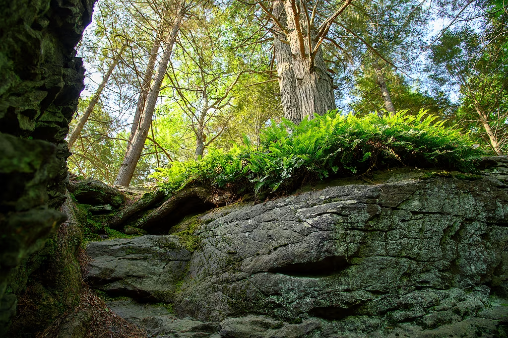
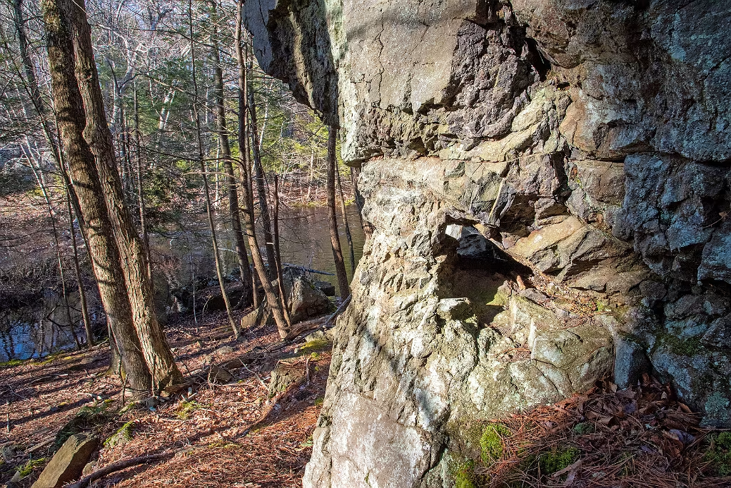
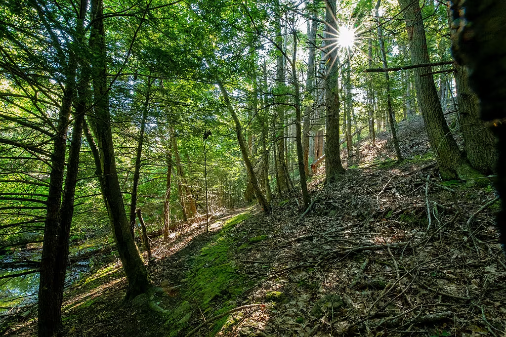
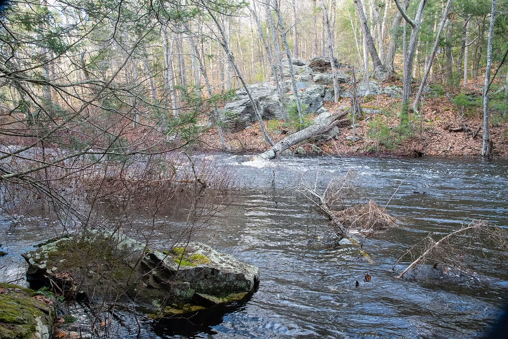
The Hanson Escarpment

Another key feature of the Indian Head River near Rocky Run in Hanson is the exposed Pennsylvanian Rocks. These high rocky banks are most visible starting on the opposite bank from the Waterman Tack Factory and then extending west to just beyond the Rocky Run Conservation area.    USGS carts have identified these outcrops as sedimantary Graywake from the Pennsylvanian era (formed approx 300 million years ago).  
IHRT at Rocky Run Hanson

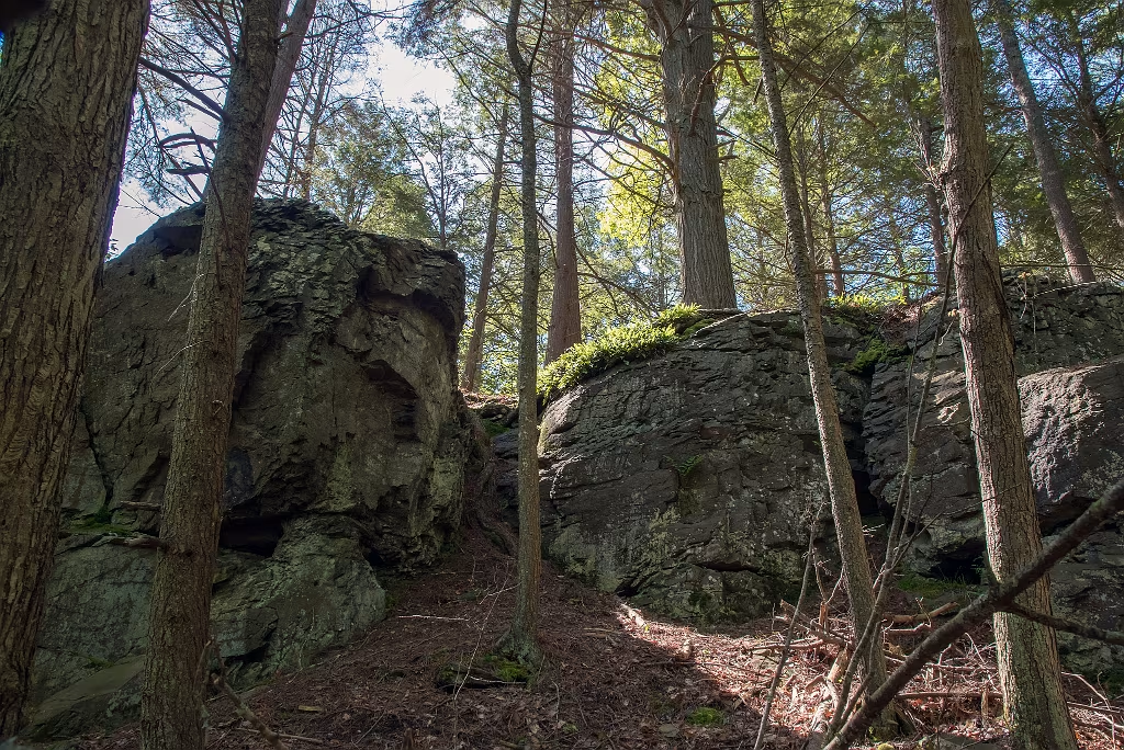
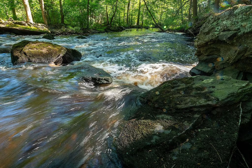
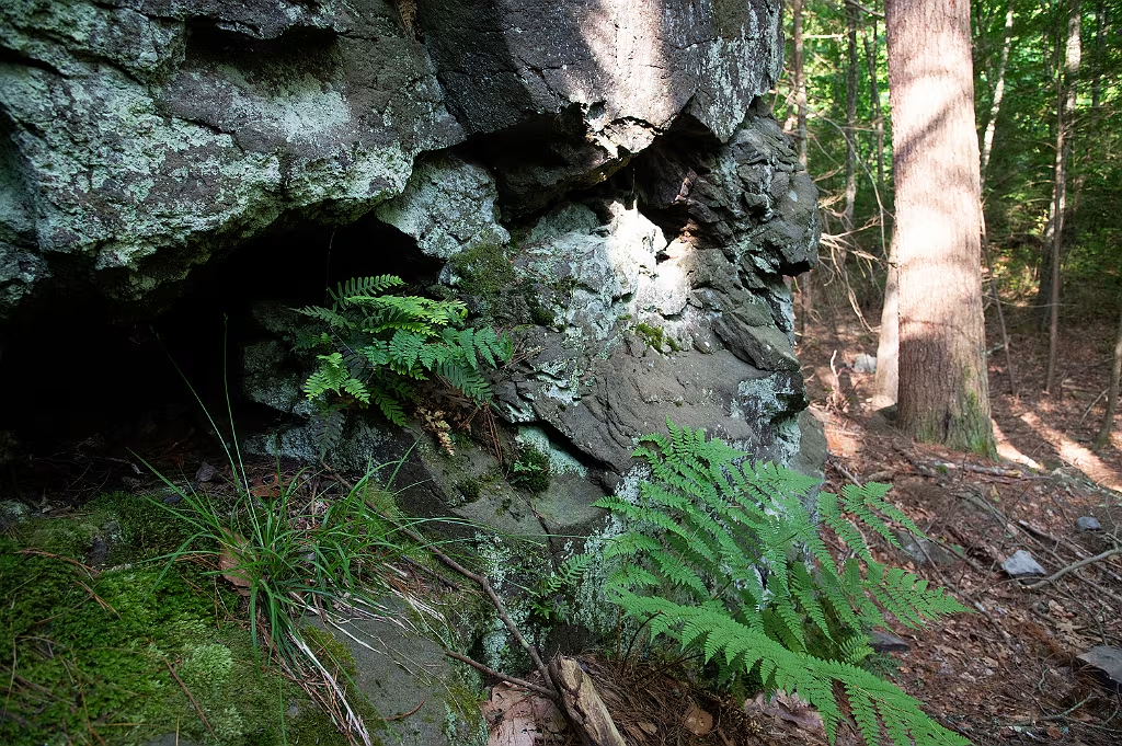
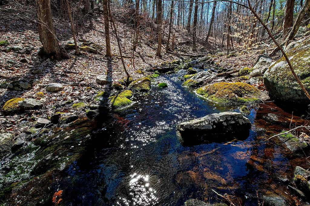
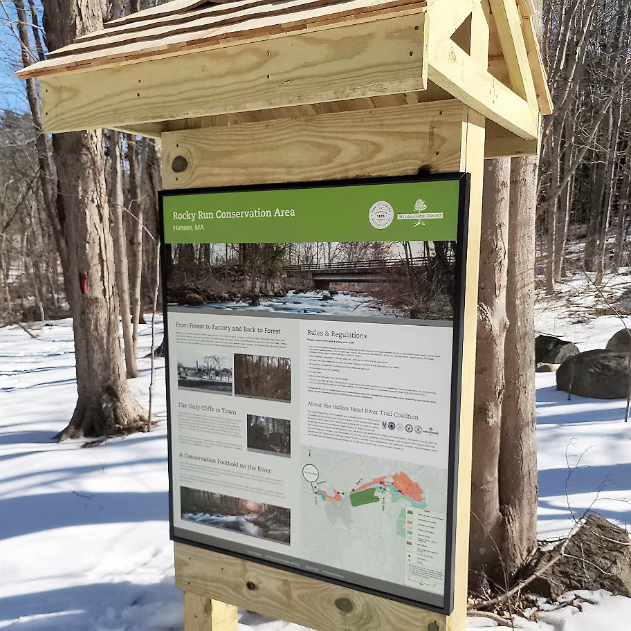
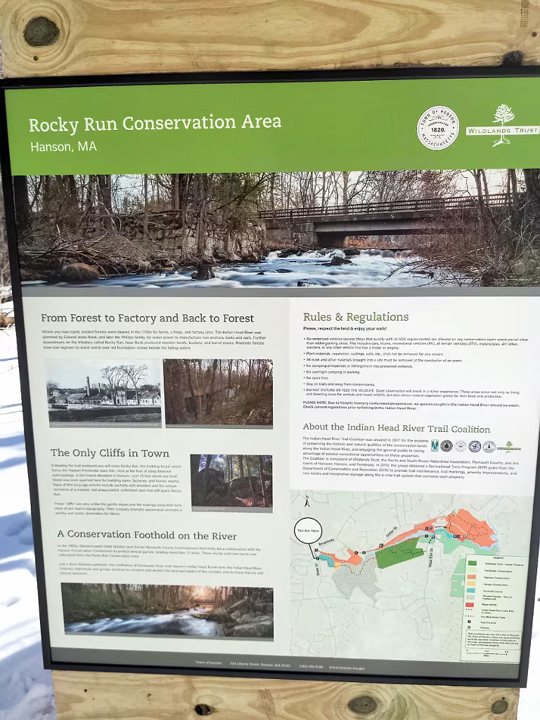
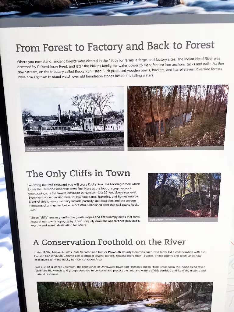
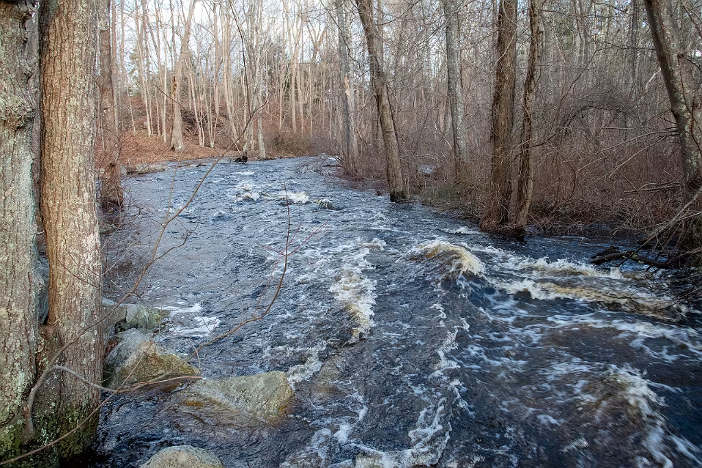
Rocky Run Conservation area in Hanson. These out croppings are listed as Pennsylvanian Rocks on USGS maps.

Rocky Run Hanson
Sedimentary Graywacke formed approx. 300 million years ago.  Ferns and lichen abound on the rock face and a grove of hemlocks covers the area just above the crest of the cliff. 
rocky-run-sedimentary
Rocky Run
rocky-run-hanson-graywake
Hemlocks, lichen, and ferns.
rocky-run-graywake-3
Looking down towards the Indian Head River at Rocky Run.
rocky-run-graywake-2
These rock faces shed both large and small chucks of rock which accumulate at the bottom of the slope.
Water Street (Hanover) IHR Trail Kiosk
Water Street (Hanover) entrance to the Indian Head River trail.
Glacial erratics along the Indian Head River.
Indian Head RIver, Pembroke MA.
Glacial erratic in Wildlands Trust Tucker Preserve, Pembroke. This erratic is in a Hemlock grove on the banks of the Indian Head River.
Another view of the large erratic on the Indian Head River that divides Pembroke and Hanover.

Rocky Run to State Street

Remnants of the colonial dam at Rocky Run. The outcrops and rock fields provided an ample supply of flat stone used in constructing this dam.

Riverside trail thru Wildlands Trust Tucker preserve.

Riverside view from Wildlands Trust Tucker Preserve
Lower trail at Rocky Run with high water levels after the April 2024 NorEaster.
At the State Street bridge after the April 2024 Nor'Easter
Post April 2024 Nor'Easter

E. Phillips & Sons Tack Factory - State St Hanson. This was located at the Hanson entrance to the IHRT on State Street. The factory spanned the river and had buildings on both the Hanson and Hanover side.

Stone foundation on the left is the abutment for an older State Street bridge used to cross the Indian Head River in the late 1800s and early 1900s.  This is slightly east of the current bridge and it can be see in photos of the E Phillips and Sons Tack Factory that once occupied this site.  

Dam at State Street. This is potentially one of the in-scope dams being looked at for removal as part of the feasibility study by NSRWA Indian Head River restoration

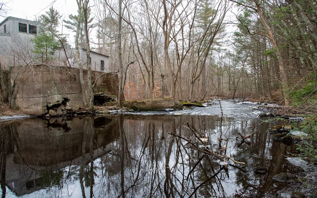
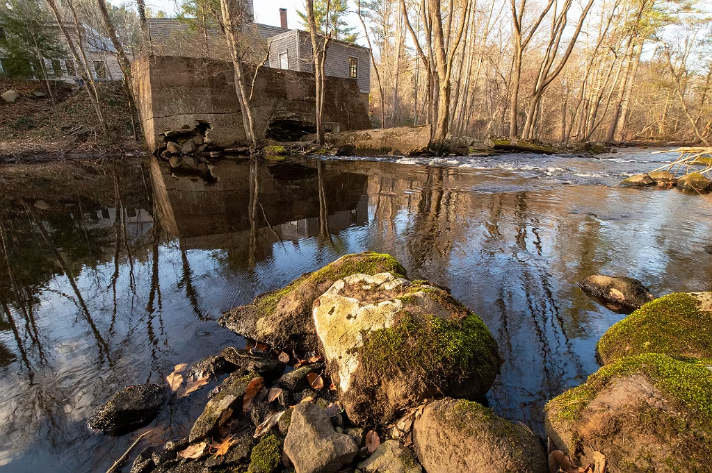
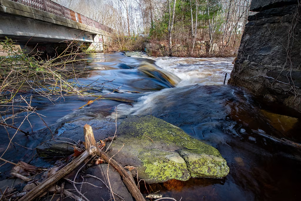
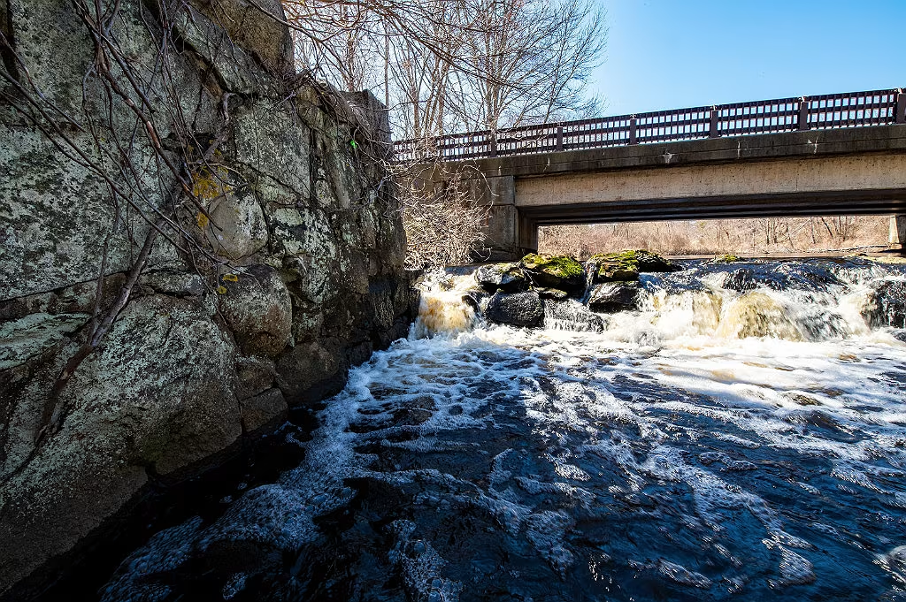
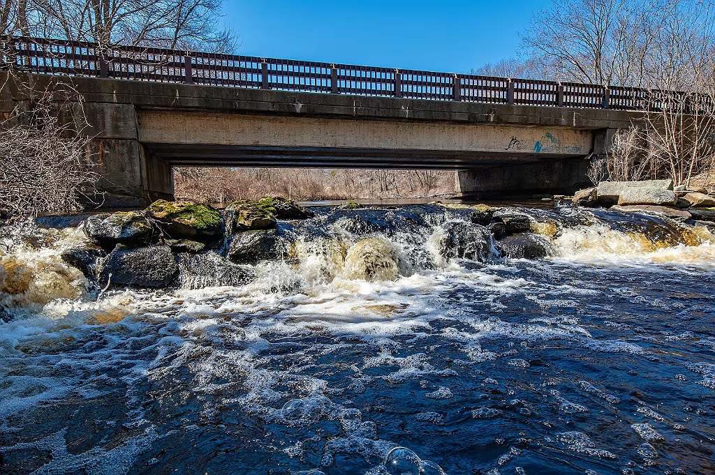
This photo shows the old bridge crossing where State St Hanson crosses the Indian Head River.  The current bridge is just to west of the one shown here and its foundations are still visible at the site.  The building straight ahead at teh top of the hill is what now hoses Myettes Country Store in Hanover.  

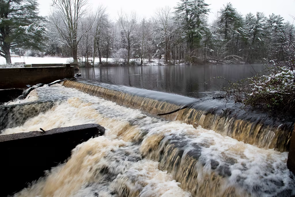
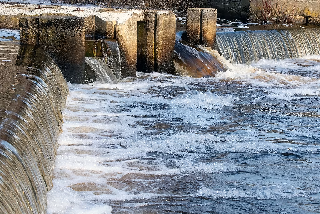
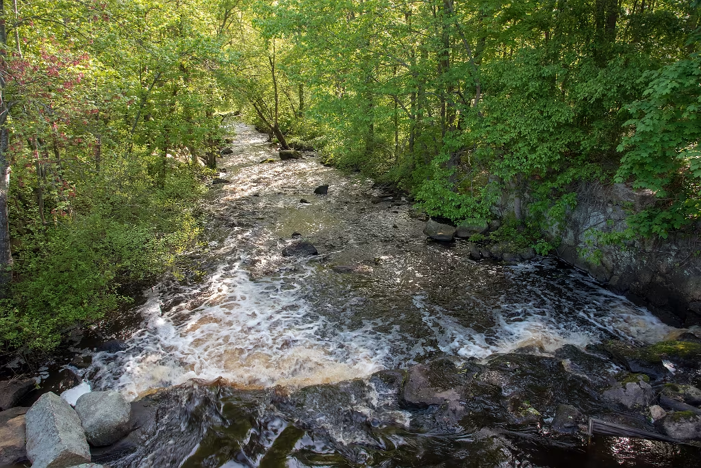
The dam shown in this photo along with the one at Luddams Ford are the two dams on the Indian Head River that will be evaluated for removal in the next few years.   If completed, it would restore free flowing water and unencumbered fish migration all the way from mouth of the North River to the dam at Factory Pond in Hanson. 

Rocky Run as it descends from Trout Pond just above the point where it enters the Indian Head River. The headwaters for this stream are sourced from the wetlands just to the north of Oldham Pond.

Side branch of the Indian Head River from the Hanover side. This is looking upstream close to where the river passes under State Street in Hanson.

Indian Head River at Rocky Run in Hanson. This is looking towards the west.
At Rocky Run Conservation Area

Indian Head River at Rocky Run Conservation Area. Remnants of the old tack factory dam where it crossed the river.

Indian Head river just east of Rocky Run Conservation area. Swift waters after an autumn rain.

Looking down stream along the Indian Head River from the former Rocky Run dam
Looking east along the Indian Head River, Hanover on the left bank and Pembroke on the right bank.
Newly installed information kiosk at the State Street entrance to Rocky Run. Wildlands Trust has built and installed all of the informational kiosks along the Indian Head River Trail system.
Rocky Run Information kiosk
This section of rough water is just east of Rocky Run. Looks as if this may have been a small dam or possibly a stone bridge.

Another view of the small rapids iust east of Rocky Run.

Autumn 2020 along the Indian Head River Trail. Hanson Pembroke Hanover
An old Plymouth County property bound marker along side the Indian Head River trail (IHRT) in Hanson.
Indian Head River in Hanson MA.
Indian Head River on the Hanover/Hanson town line.
Looking from the Town of Hanson Rocky Run conservation across the river to Hanover. The IHRT crosses directly beside the rocks on the other side of the river.
Ice bobbles - IHRT Hanover
Indian Head River as it passes under State Street in Hanson,
Seasonable fast flowing water as the Indian Head River passes under the State Street bridge in Hanson. This is just upstream from the Rocky run Conservation property.

Star Flower along the Indian Head River Trail.

Indian Head River near State Street in Hanson
Rocky Run Conservation area in Hanson
Rocky Run Conservation area in Hanson. This is along the Indian Head River Trail
Small glacial erratic on the south side of the Indian Head River - Pembroke Hanover
Looking west along the Indian Head River between Hanson and Hanover. This is not far from the State Street Bridge in Hanson.
Hanover side looking towards the Town of Hanson Rocky Run conservation preserve. The IHRT passes on either side of the river at this location.
Indian Head River Ice