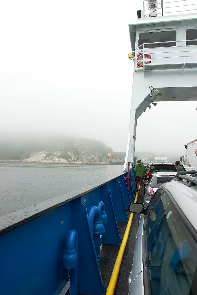
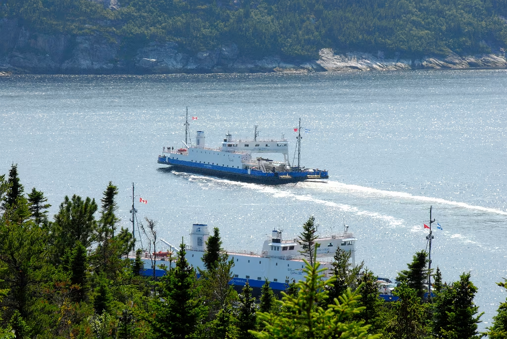
Tadoussac Baie-Sainte-Catherine Ferry at the Saguenay River.

This is the ferry where Quebec Route 138 East crosses the Saguenay River (at Tadoussac). These crossings take approx 20 minutes and the ferries run continuously 24 hours a day.

Tadoussac Baie-Sainte-Catherine Ferry at the Saguenay River.
Tadoussac Baie-Sainte-Catherine Ferry at the Saguenay River.

Off of Tadoussac, looking past the Prince Shoal Lighthouse right down the mouth of the Saguenay River.

Beluga Whale in the Saguenay
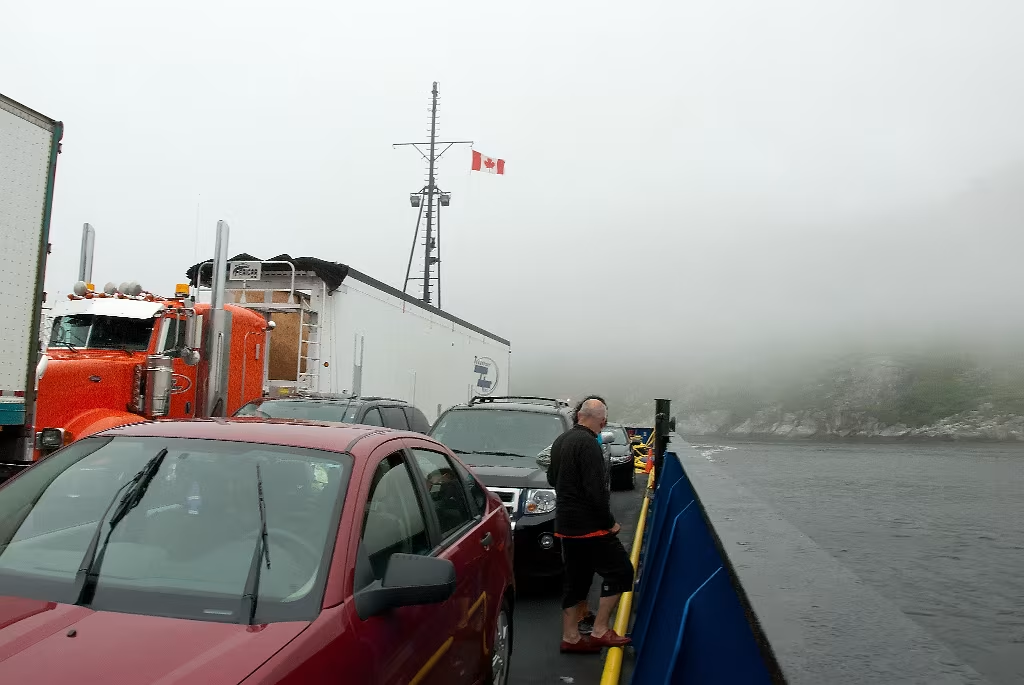
Ferry loading at Tadoussac
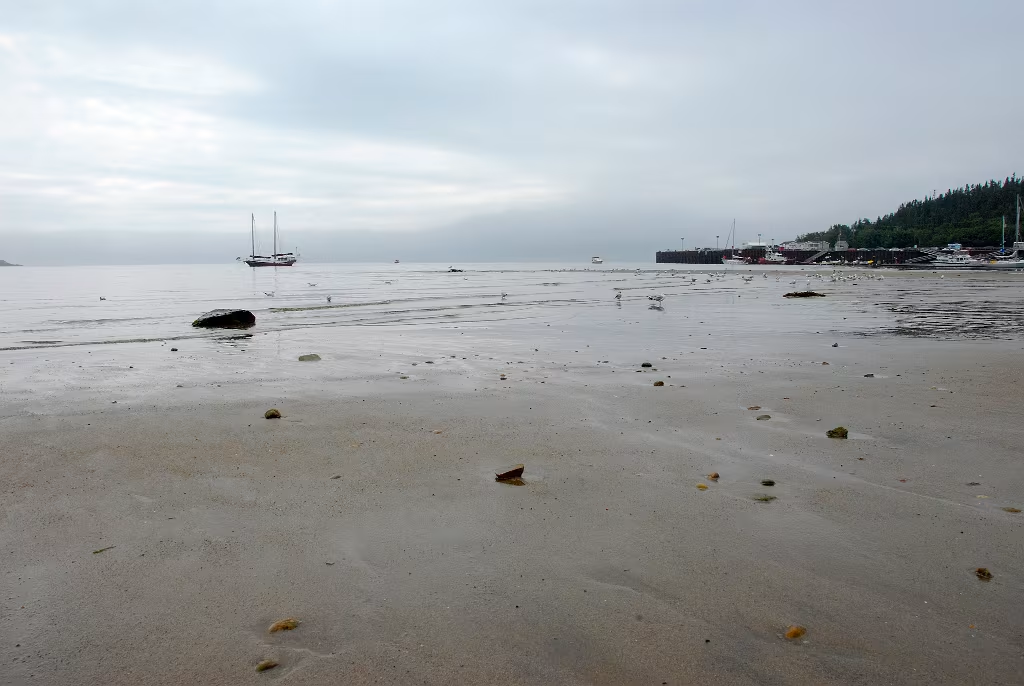
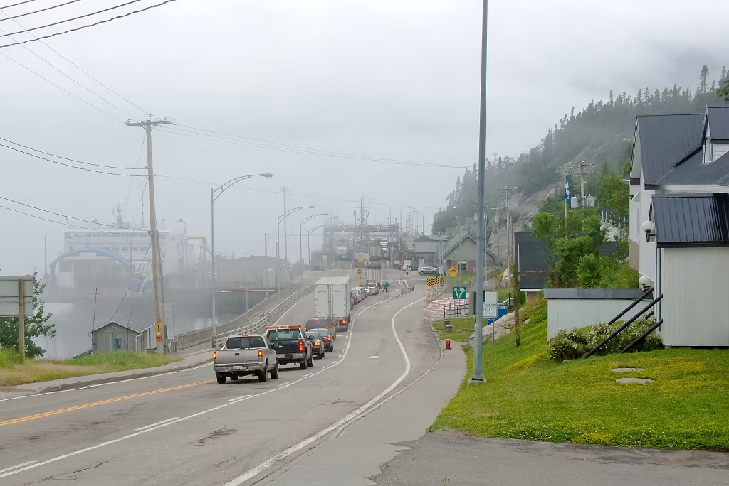
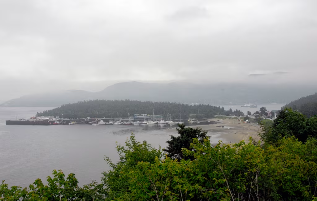
Tadoussac, Quebec
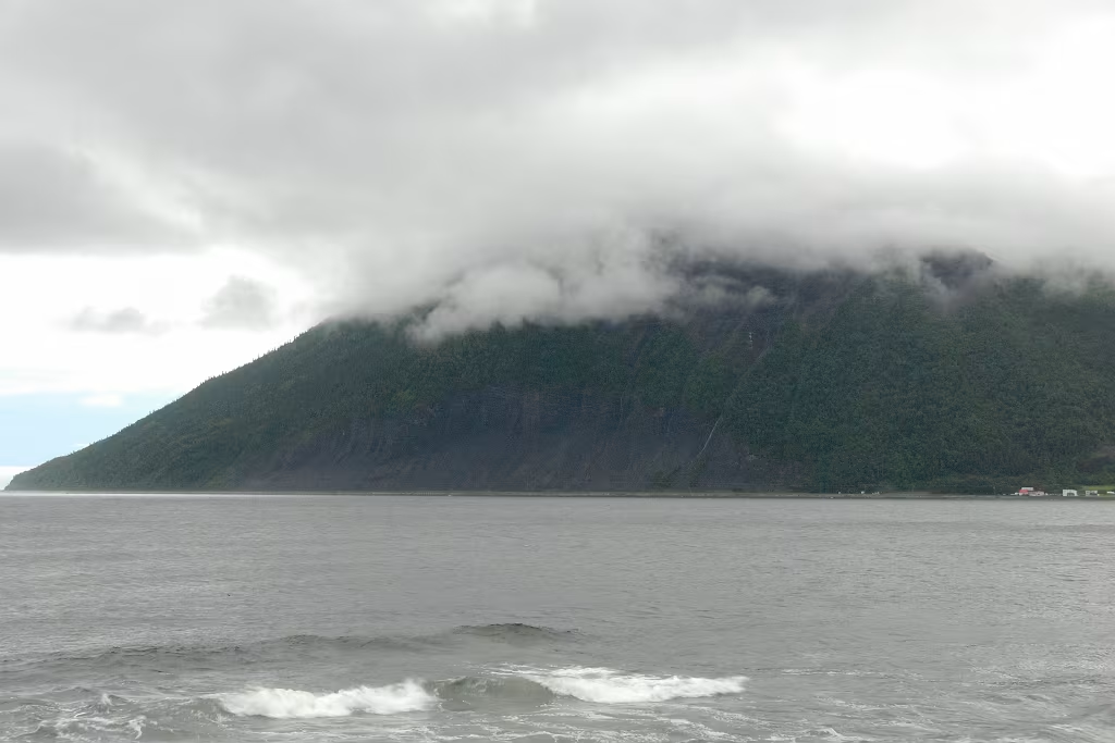
Saguenay River
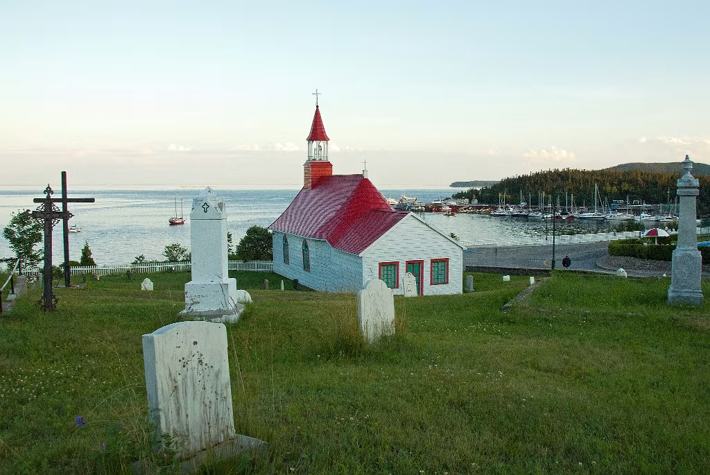
Tadoussac, Quebec
Tadoussac and the Saguenay Fjord in the background.
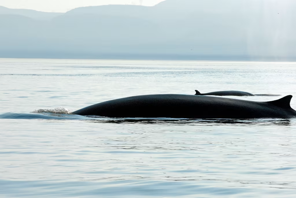
Finback Whales off of Tadoussac
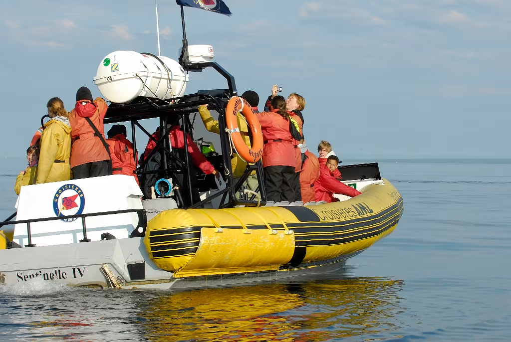
These are the Zodiac's that we went out on. We missed a bit since the captain didn't speak English & we didn't speak French, a very minor drawback!
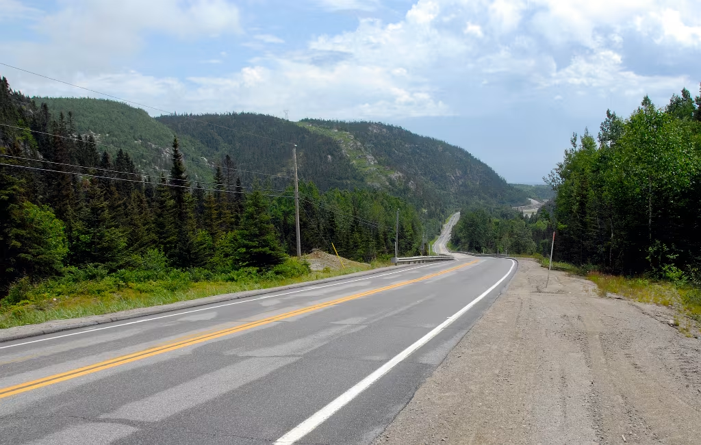
Quebec Route 138 east of Tadoussac

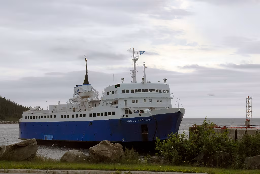
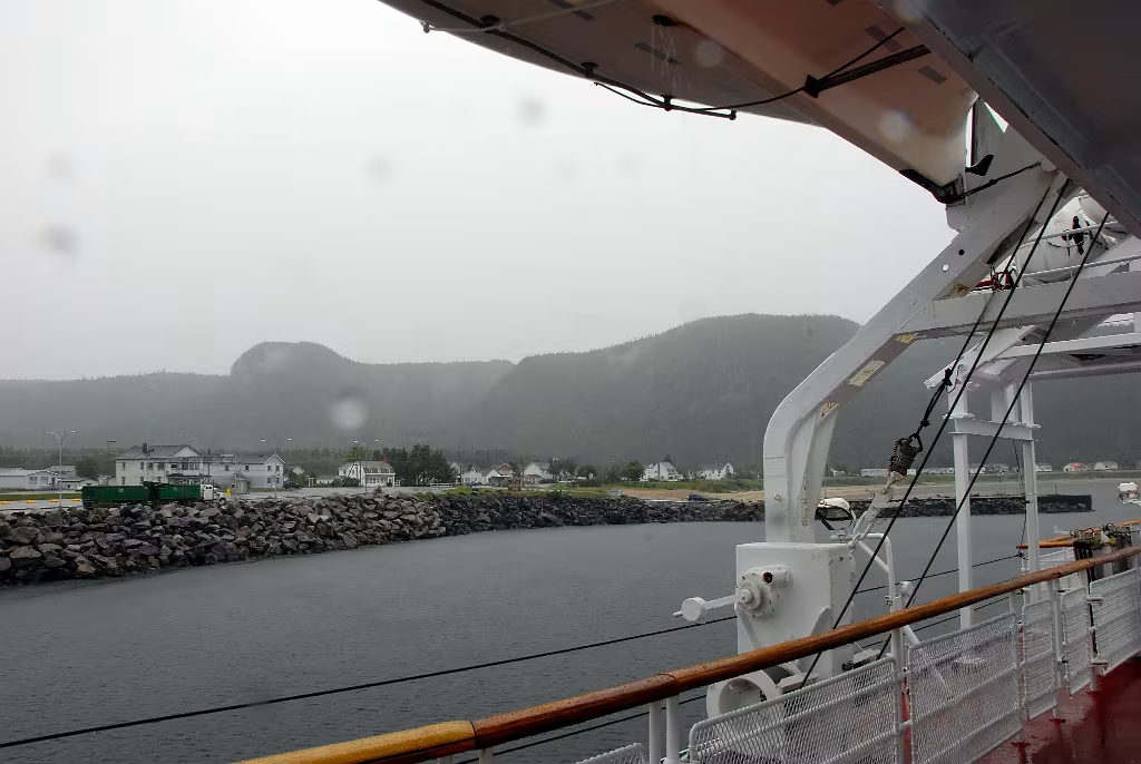
The M.V. Camille-Marcoux approaching Godbout Quebec. This crosses the Gulf of Saint Lawrence and docks at Matane Quebec on the south side of the gulf.
The M.V. Camille-Marcoux approaching Godbout Quebec. This crosses the Gulf of Saint Lawrence and docks at Matane Quebec on the south side of the gulf.

The M.V. Camille-Marcoux at Godbout Quebec.
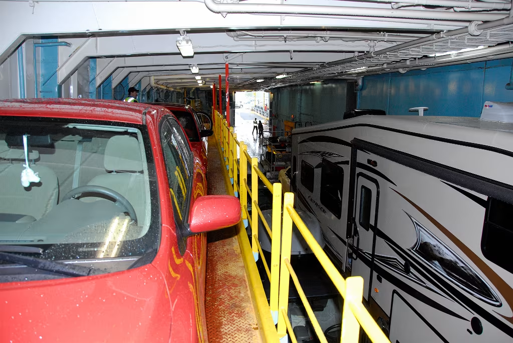
The car deck on the The M.V. Camille-Marcoux at Godbout Quebec.
The M.V. Camille-Marcoux departing Godbout Quebec.
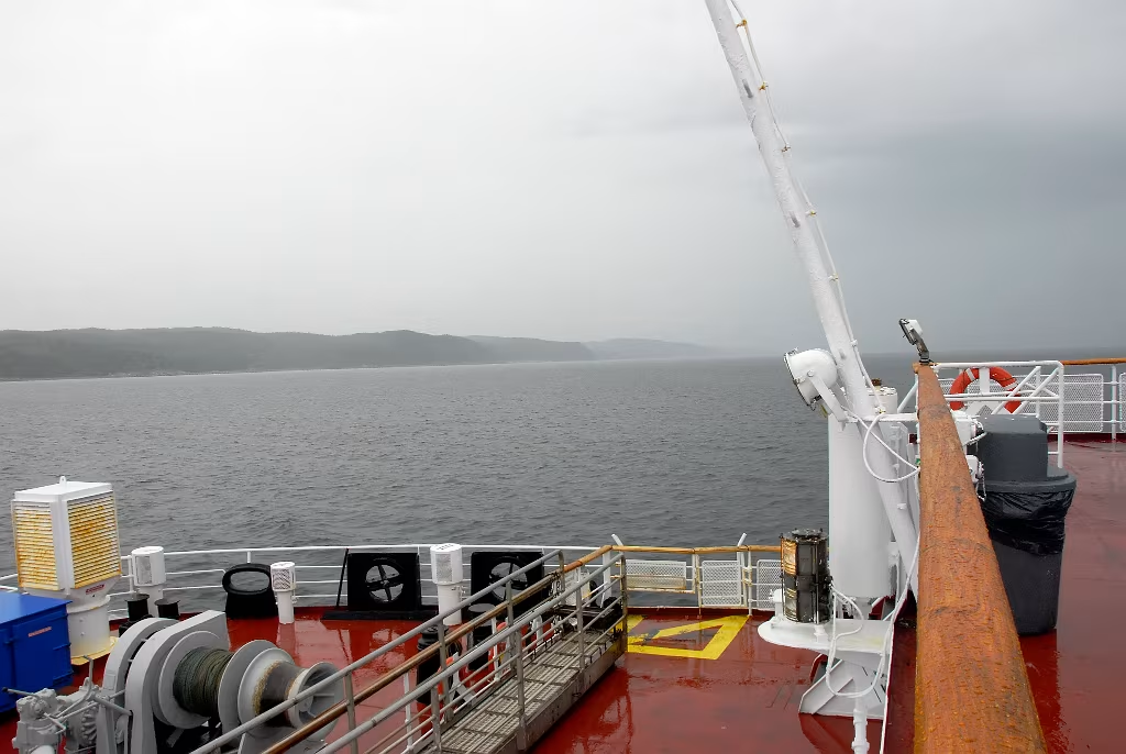
The M.V. Camille-Marcoux

The M.V. Camille-Marcoux

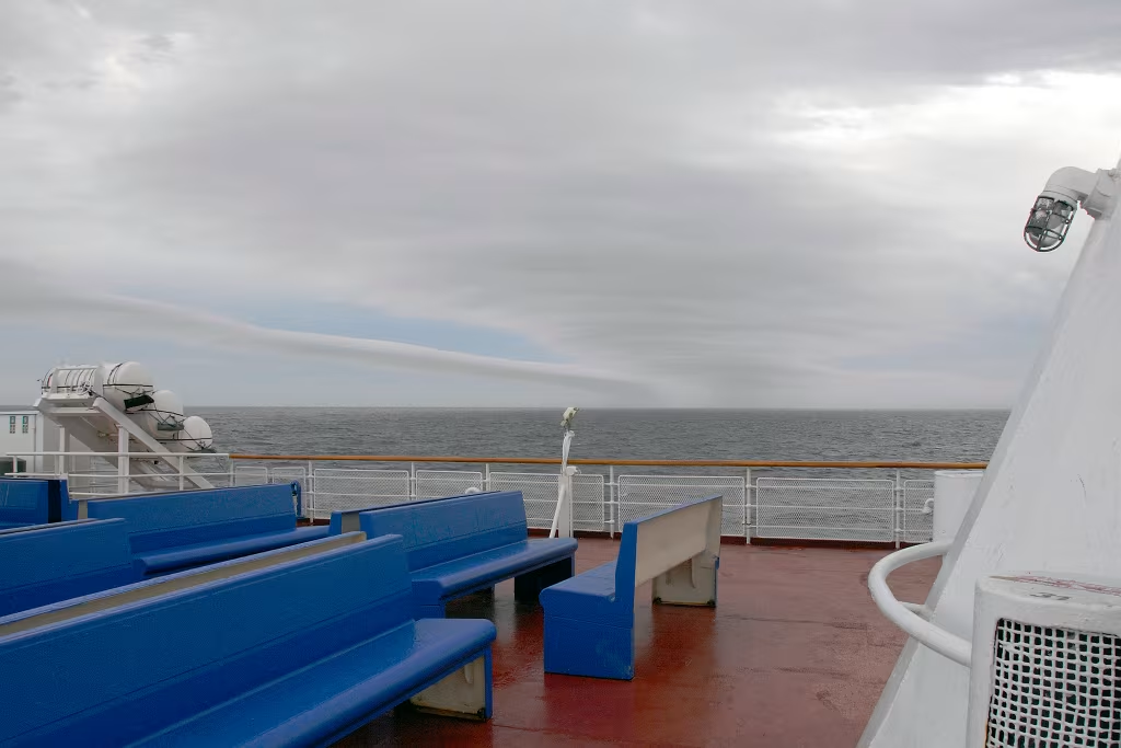
From the M.V. Camille-Marcoux lloking back towards Godbot.
The M.V. Camille-Marcoux
Now on the south side of the Gulf of Saint Lawrence, we are travelling east on Quebec Route 132.
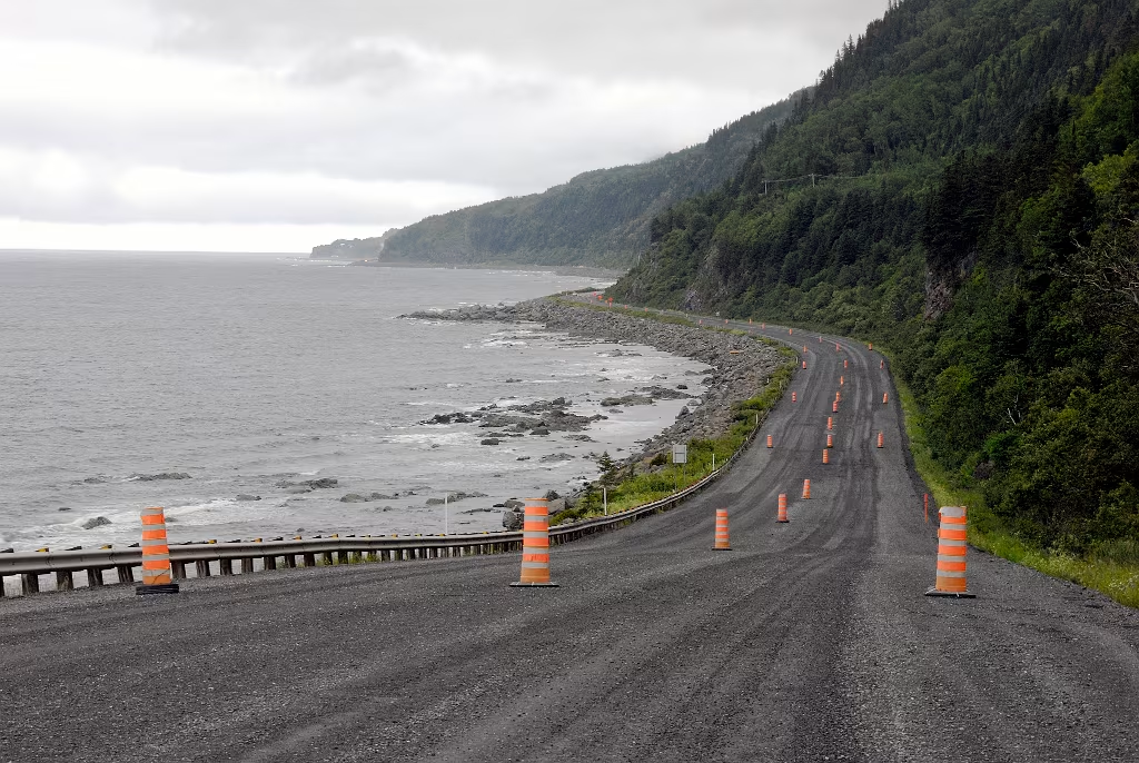
On the Gaspé Peninsular, travelling east on Quebec Route 132. It was faily cool with wind and rain driving coming in off the Gulf.
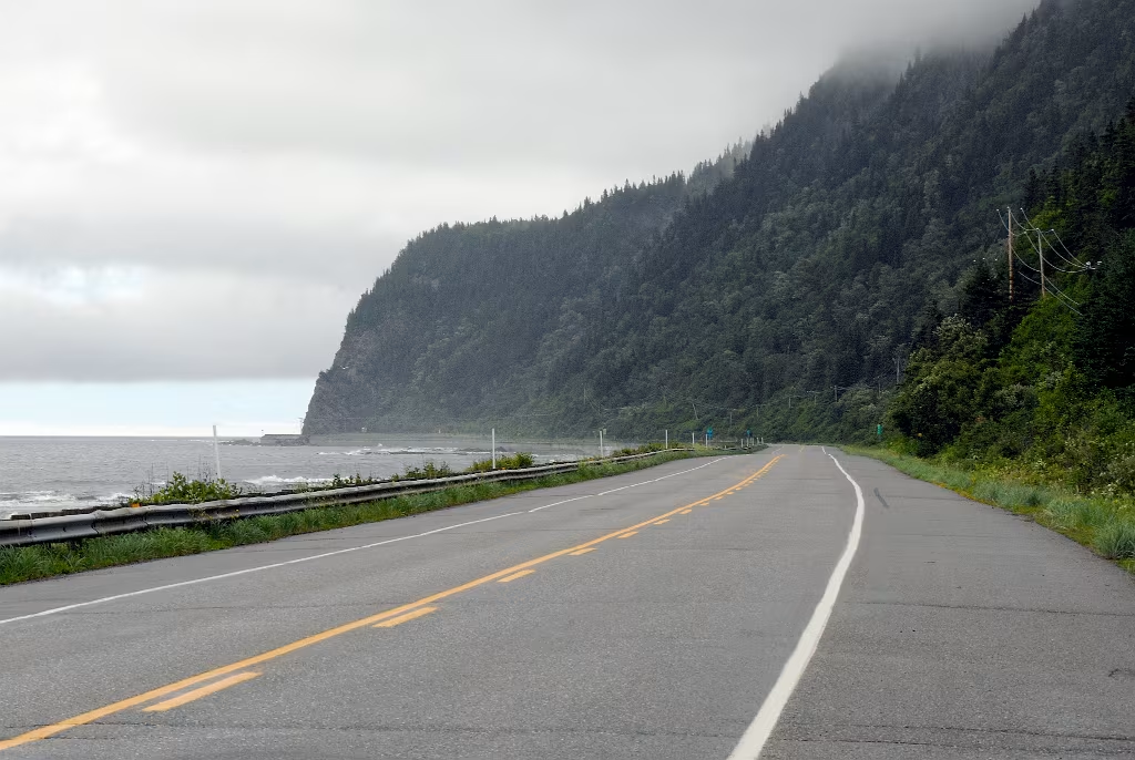
On the Gaspé Peninsular, travelling east on Quebec Route 132.

The La Martre Lighthouse at La Martre Gaspé.

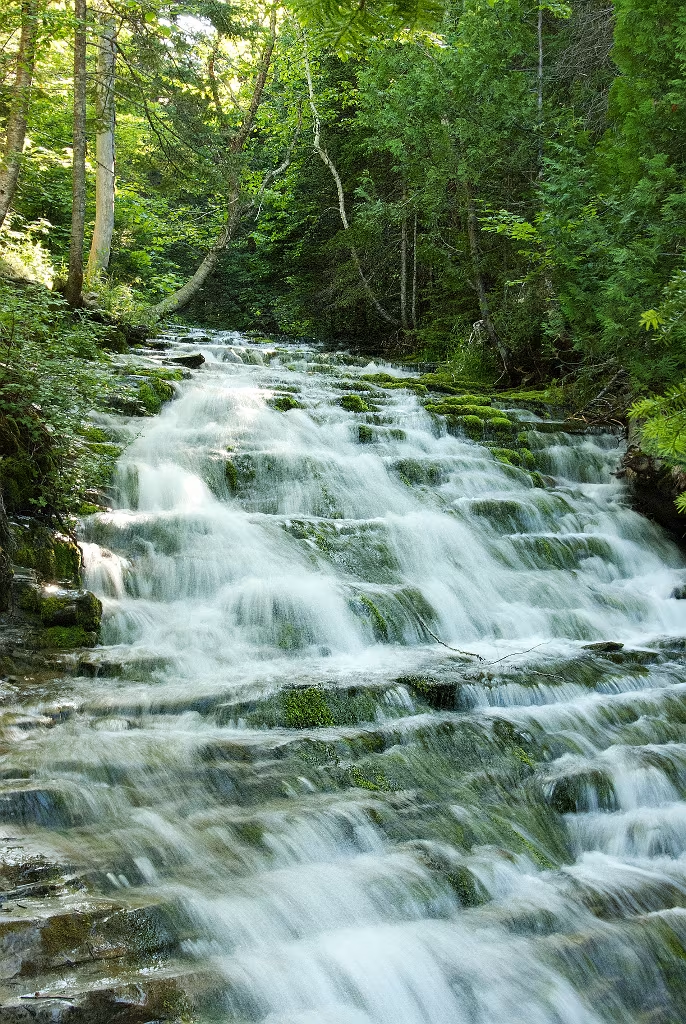
One of many waterfalls along Route 132.

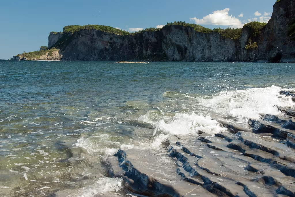
Looking east towards the end of the Gaspé Peninsular.
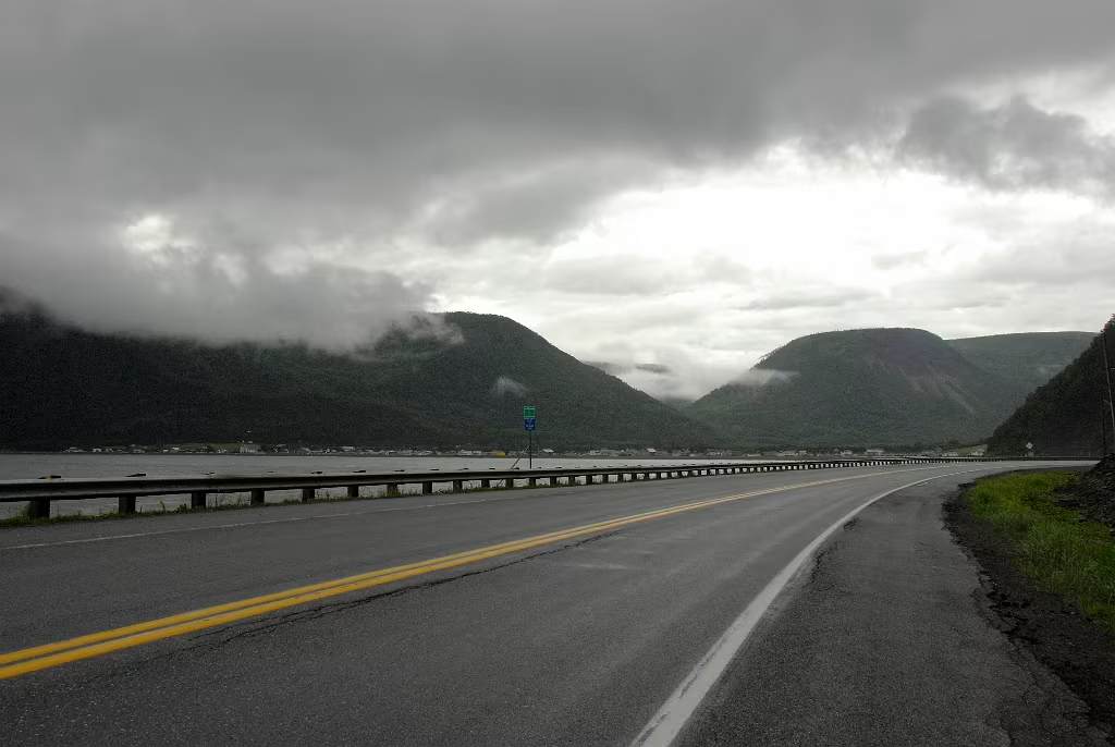
More magnificently moody weather along our route.


St Maurice de l'Échourie

St Maurice de l'Échourie

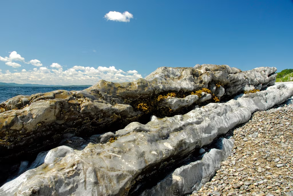
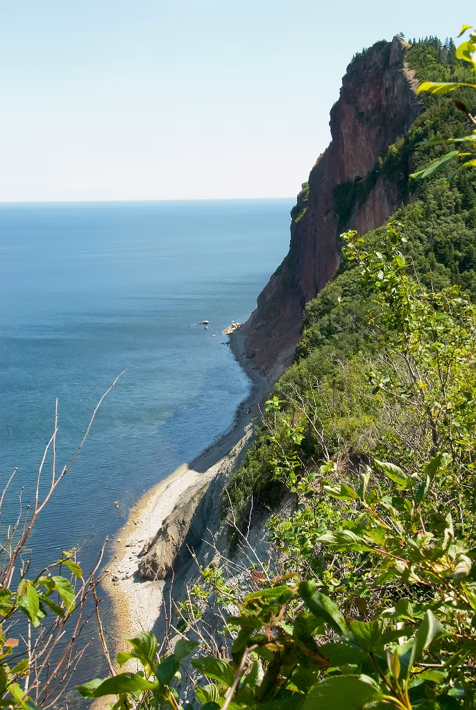
Forillon Nation Park at the tip of the Gaspè Peninsula.
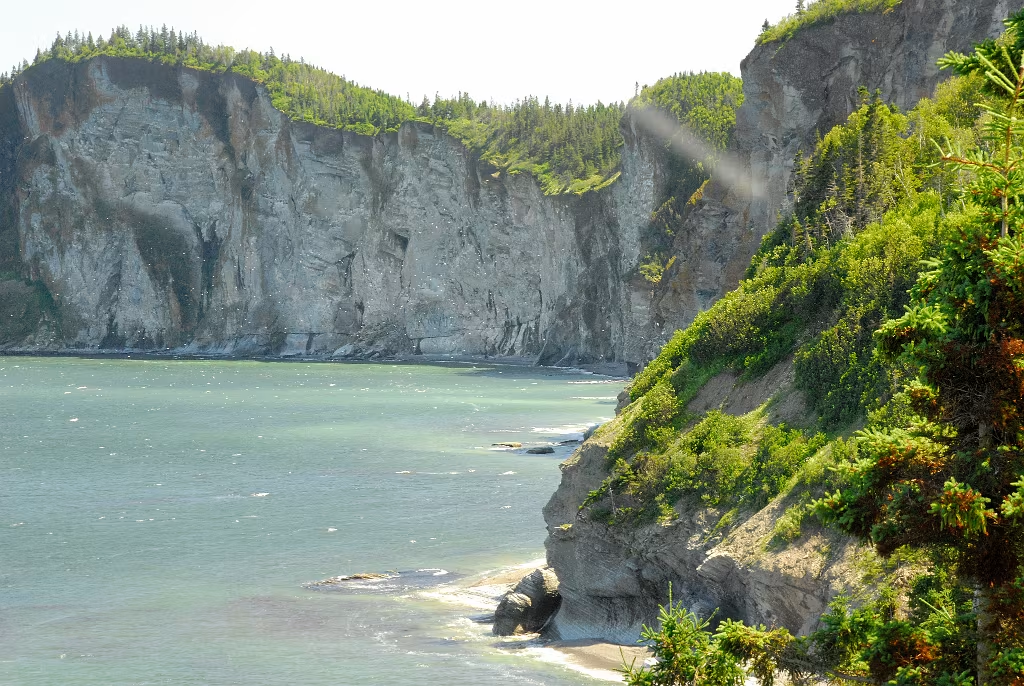
Forillon Nation Park at the tip of the Gaspè Peninsula. This is on the north side of the cape.

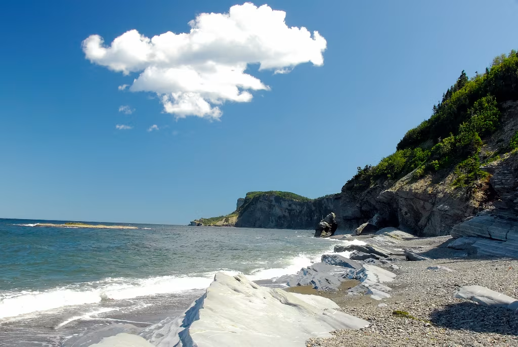
Hiking in Forillon National Park.
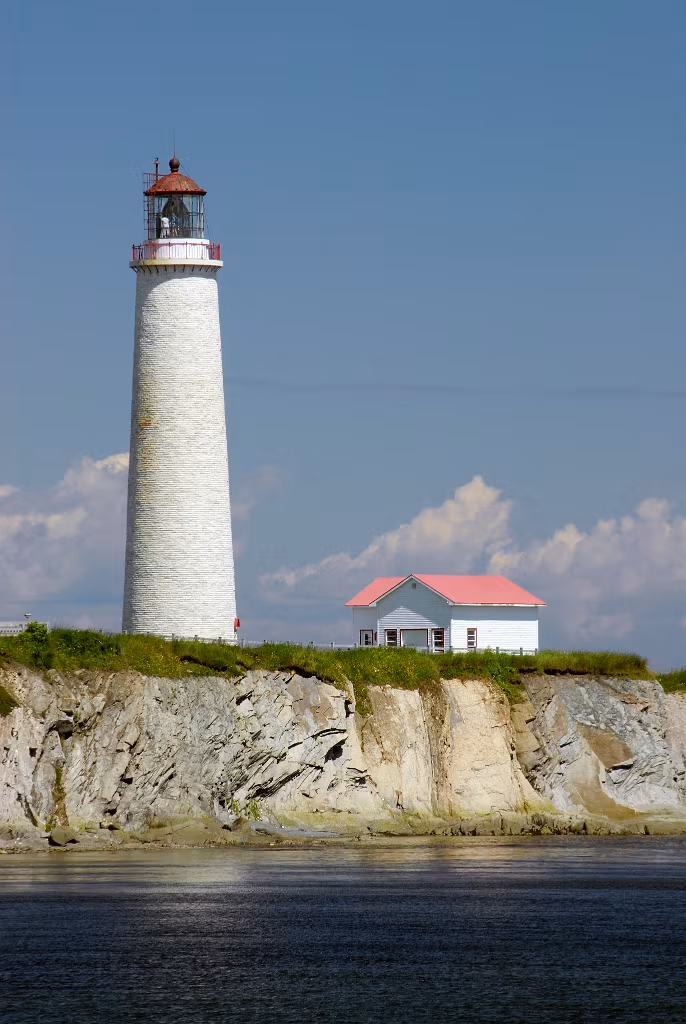
This lighthouse, at Cap-des-Rosiers, is the tallest in Canada and was build in 1858.
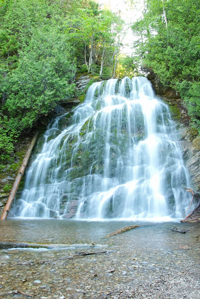
More waterfalls while hiking in Forillon Park.
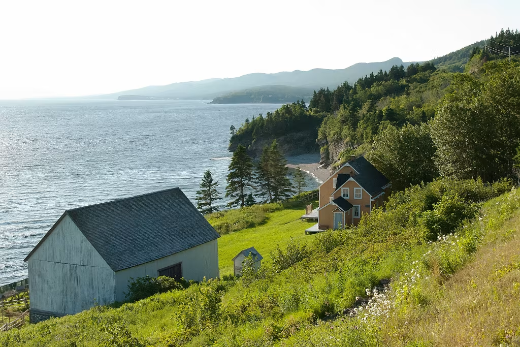
This is near Grande-Grave located in the southern sector of Forillon Park.
Forillon National Park
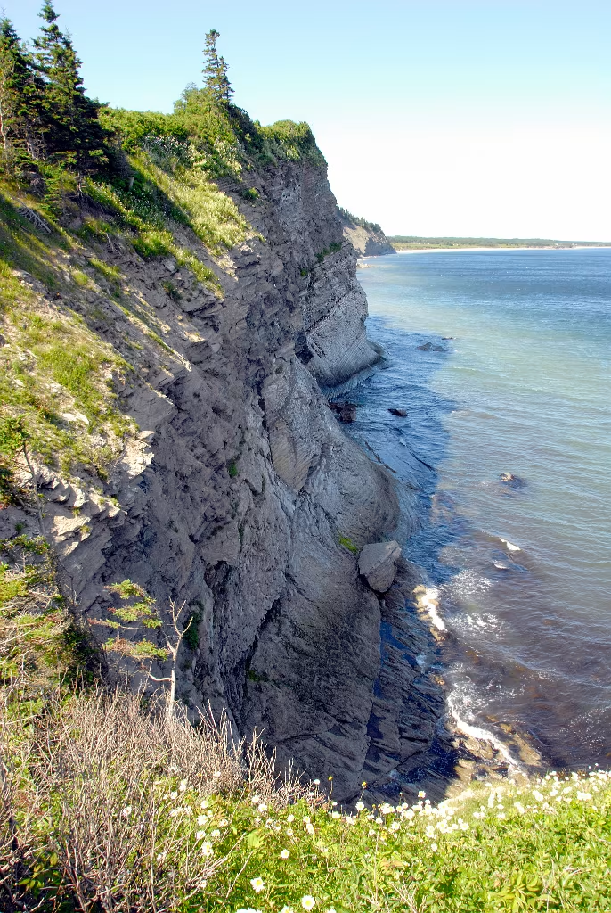
Forillon National Park
Forillon National Park
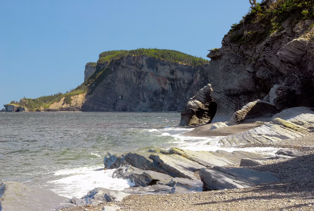
Forillon National Park
Forillon National Park
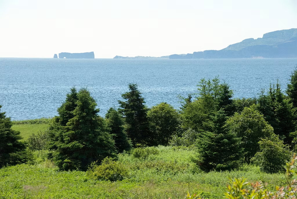
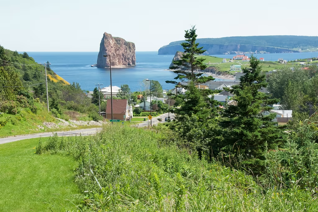
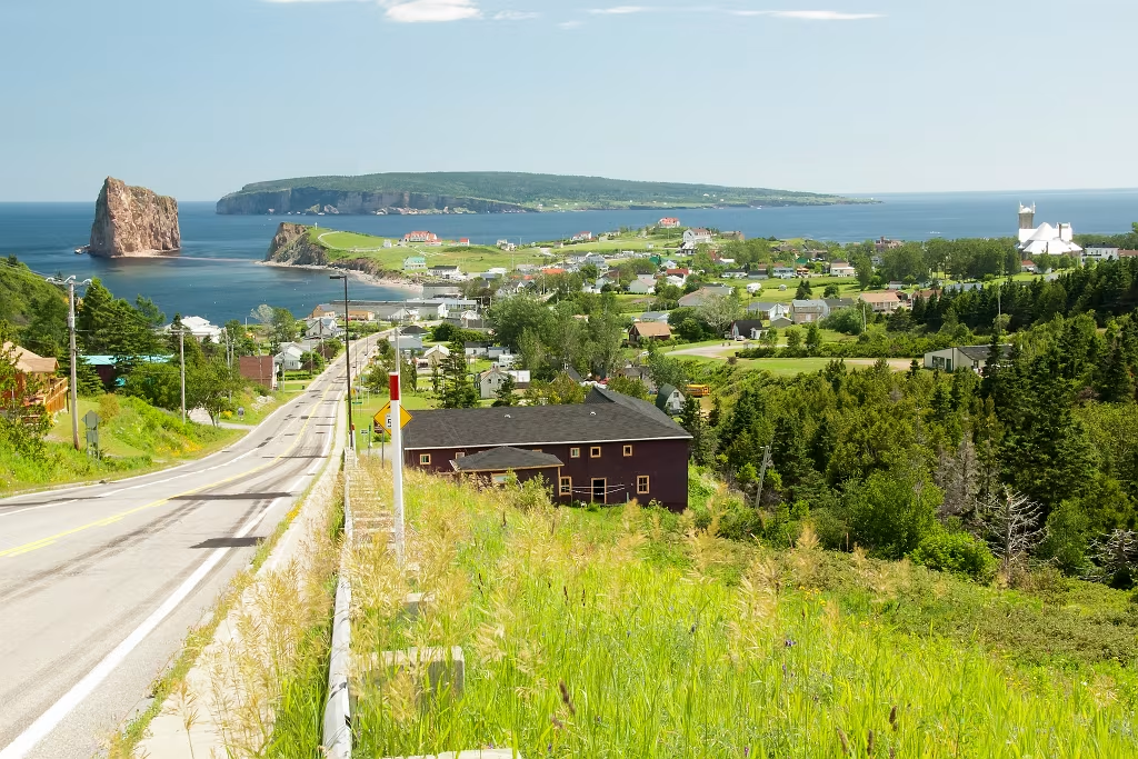
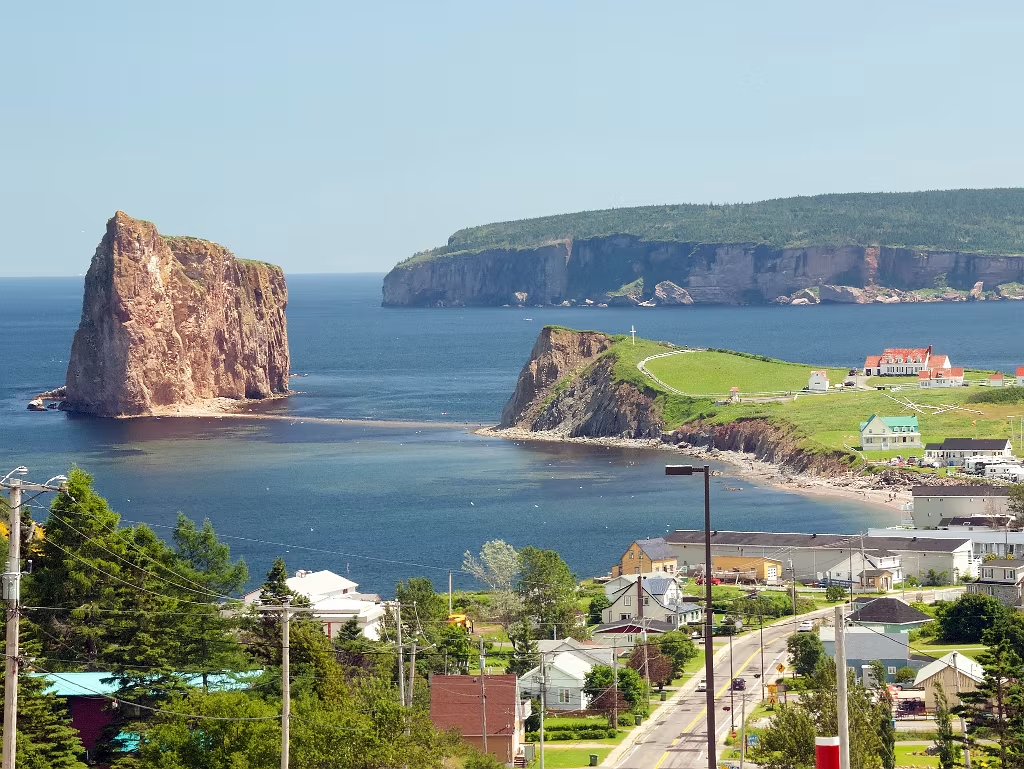
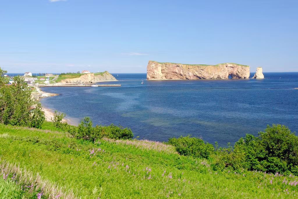
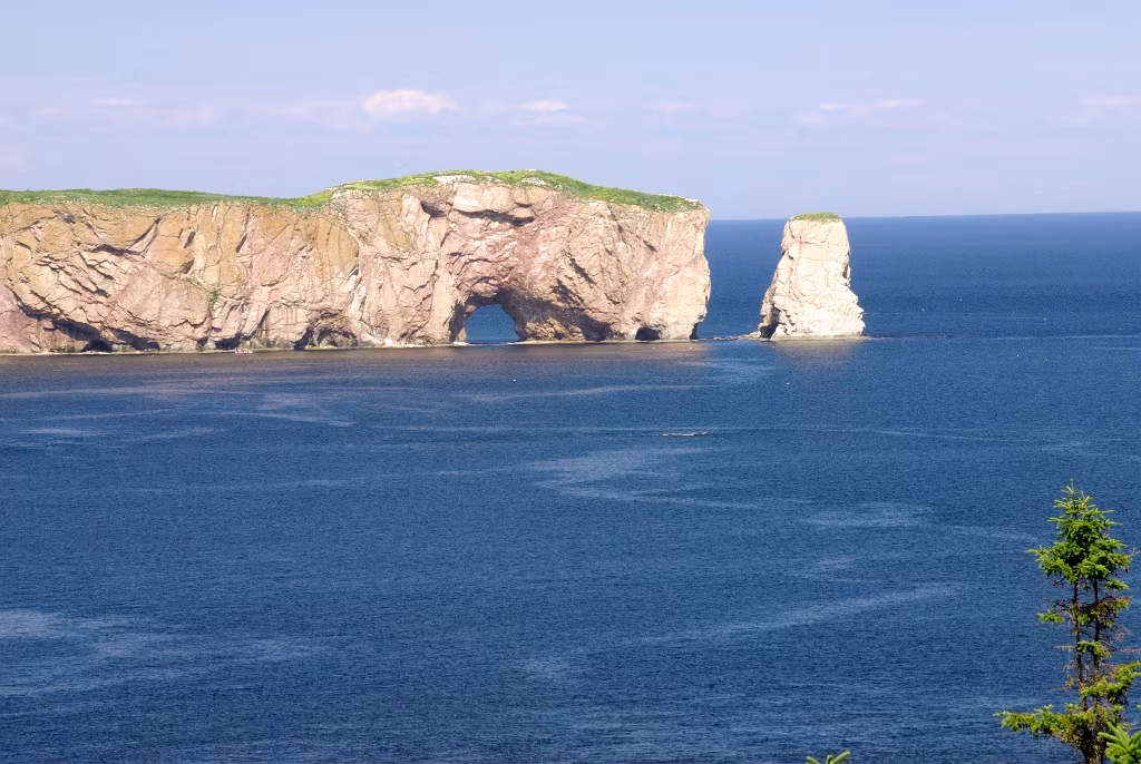
Percè, Quebec