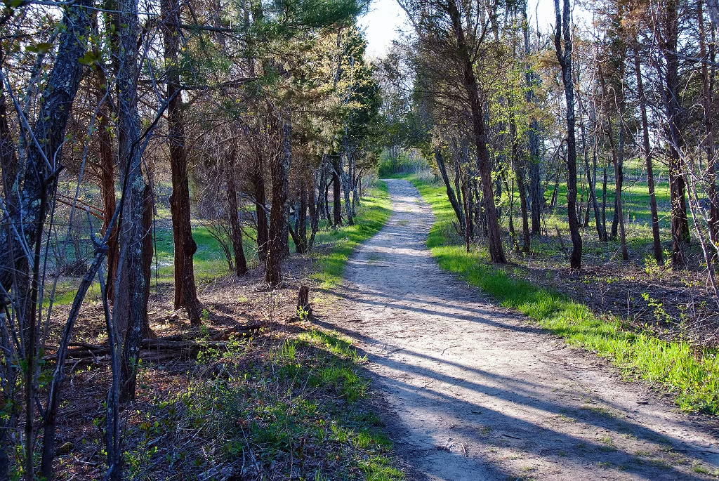
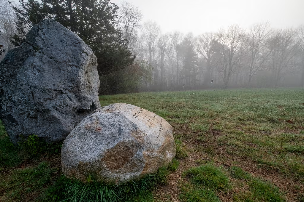
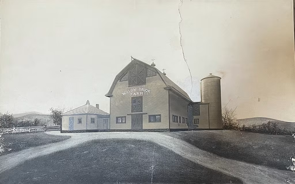
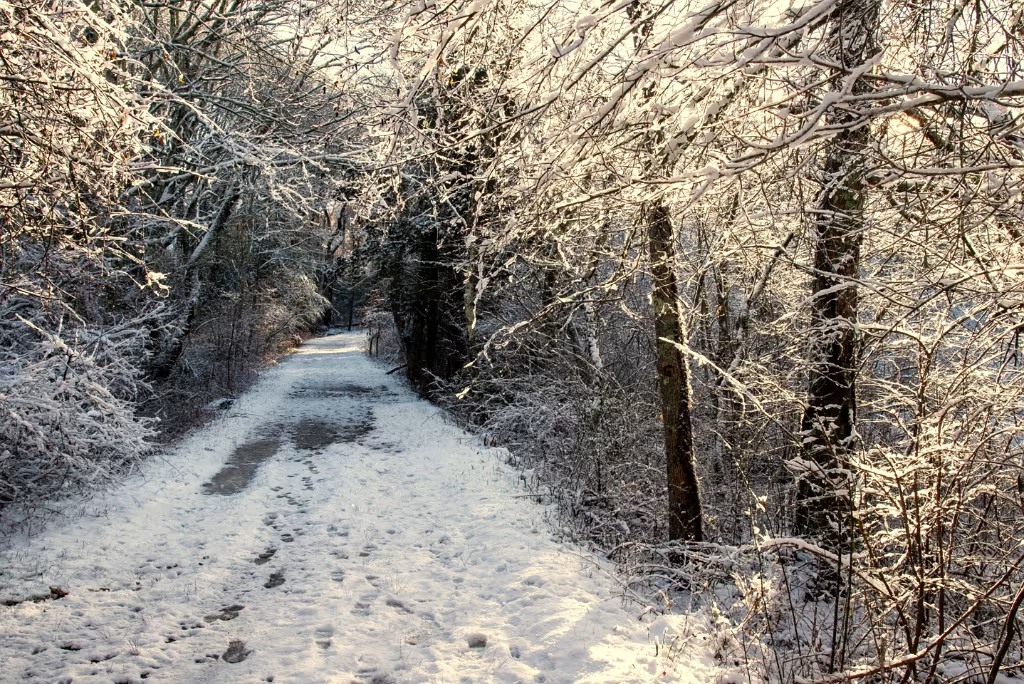
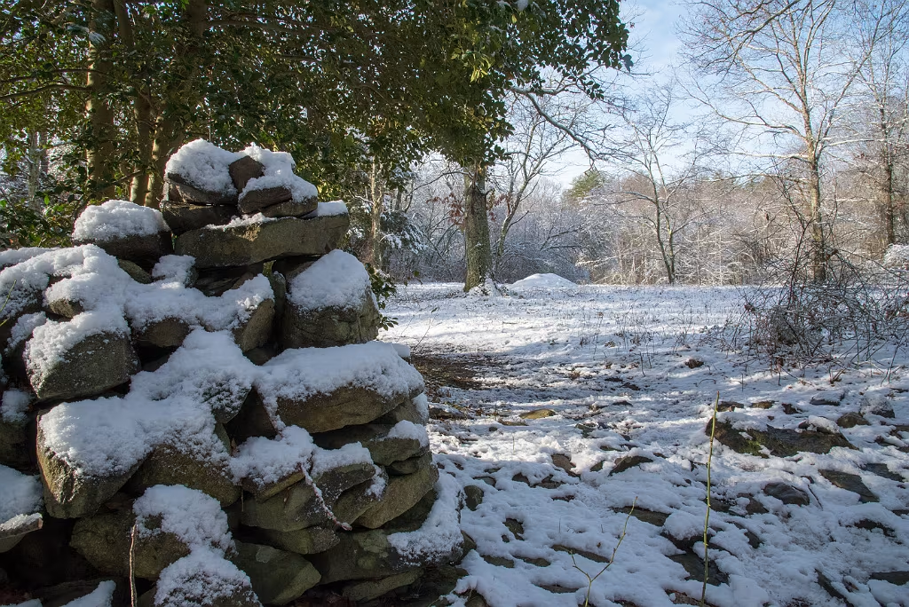
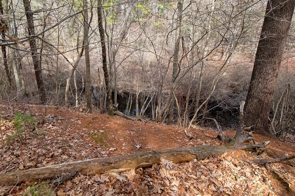
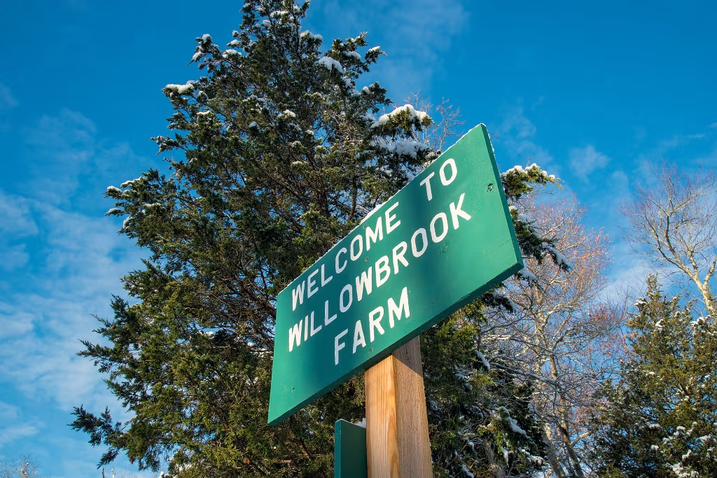
Old road into Willow Brook Farm.
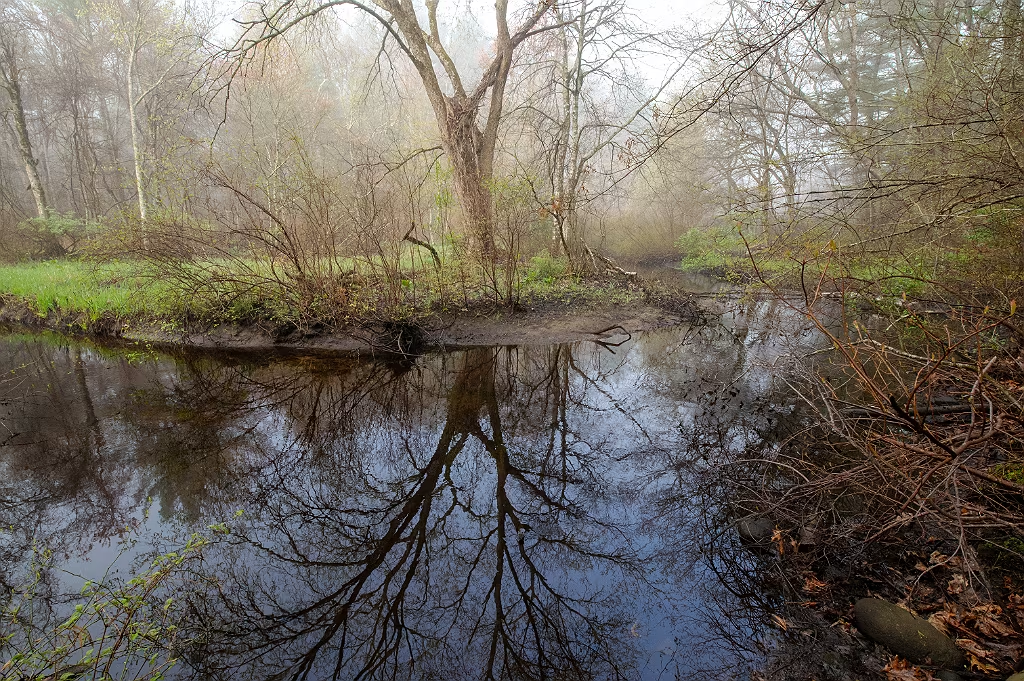
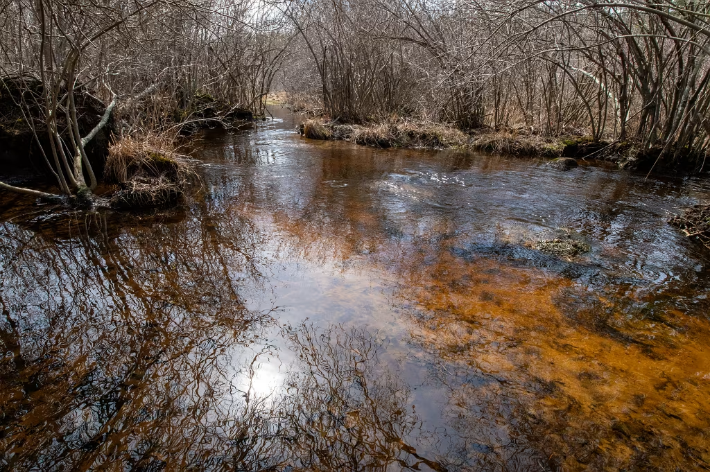
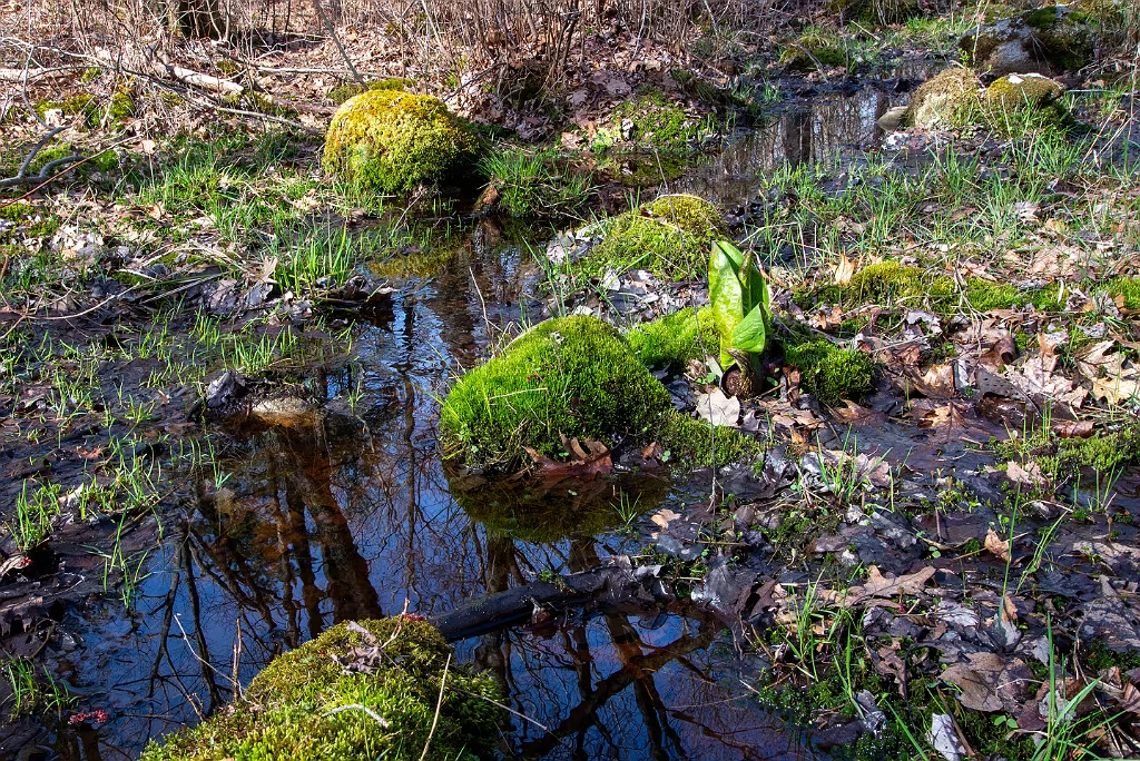
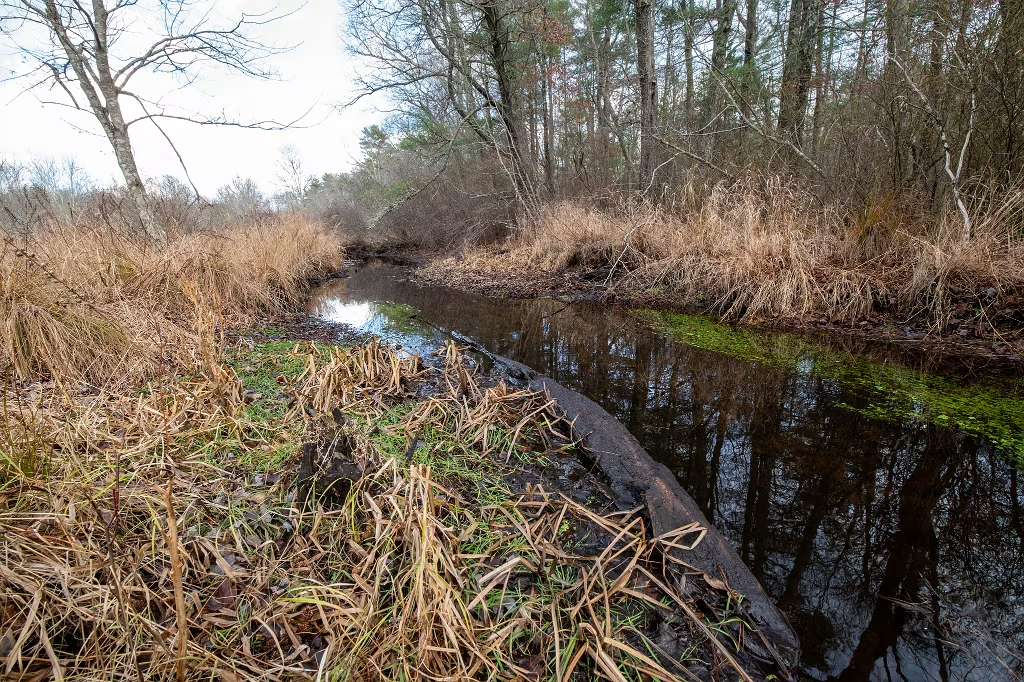
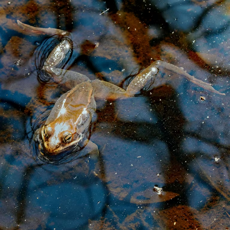
Pembroke Herring Brook
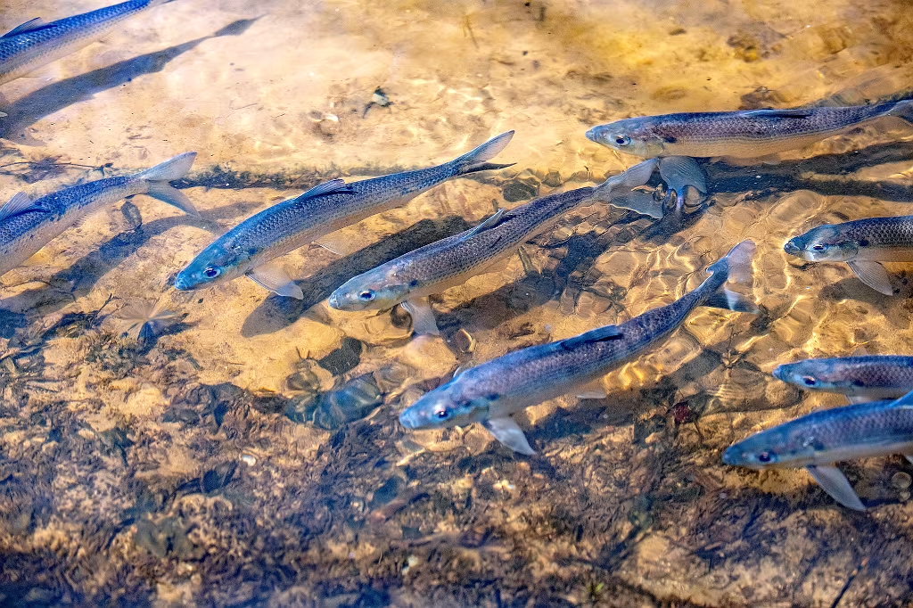
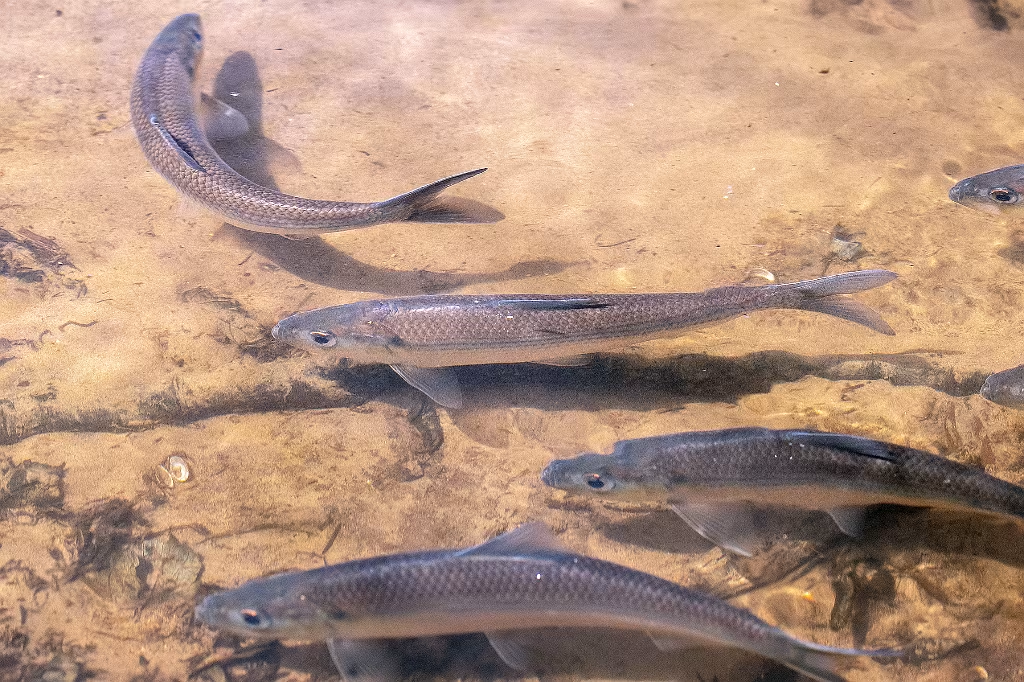
Last years migration starts as early as March and can run into June.
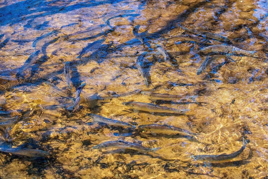
NSRWA performs herring counts every year and according to their findings, Pembroke's Herring Brook observed over 270,000 fish in the 2025 migration.
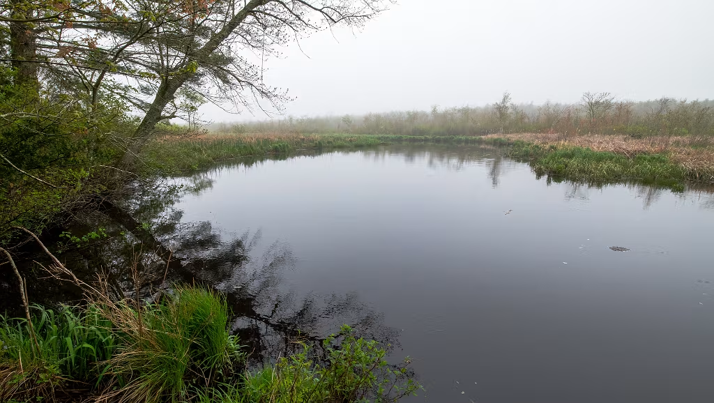
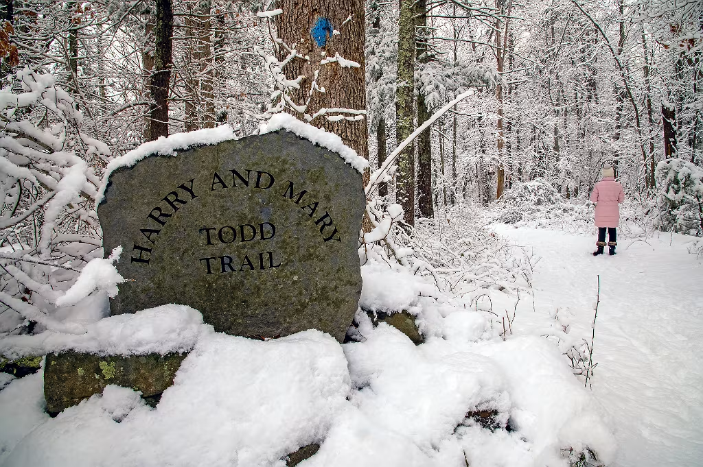
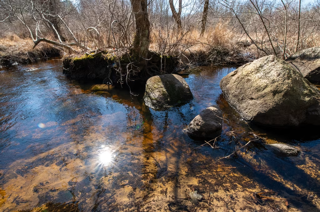
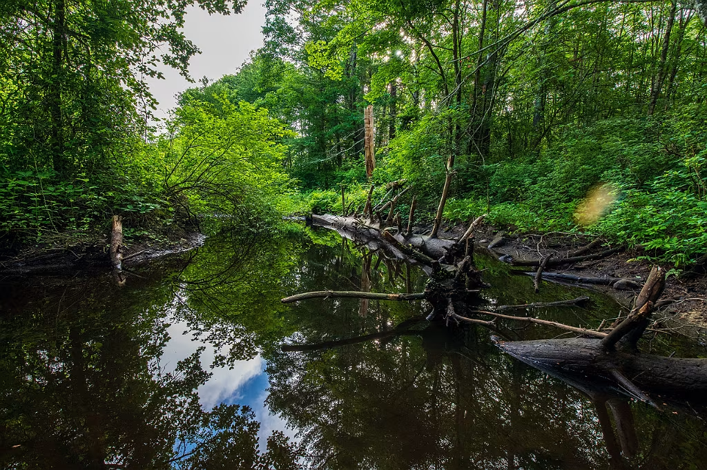
Recent trail improvements at the adjoining Misty Meadows Conservation area provides access to this scenic outlook onto Herring Brook. An entrance to the Misty Meadows trail system can be made from the Mary & Harry Todd trial on the other side of Pudding Brook.
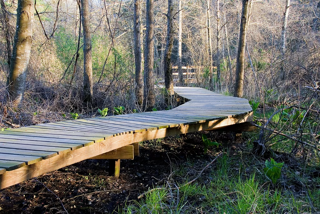
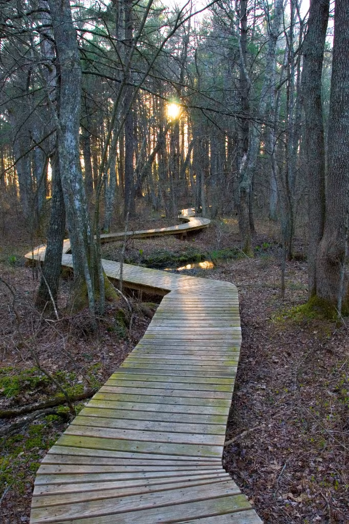
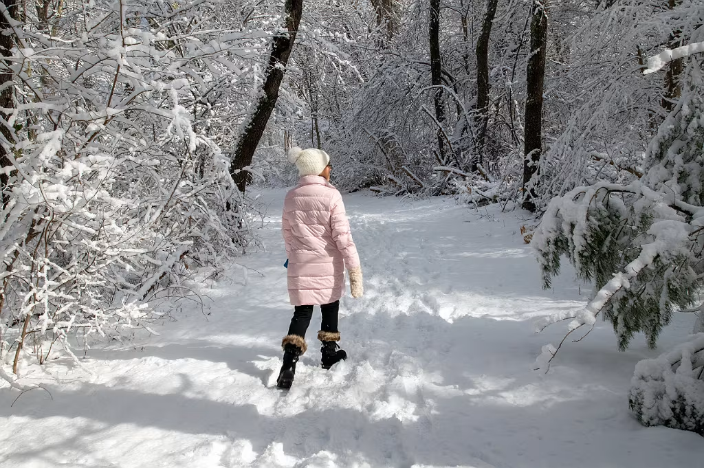
Boardwalks and Bridges at Willow Brook Farm
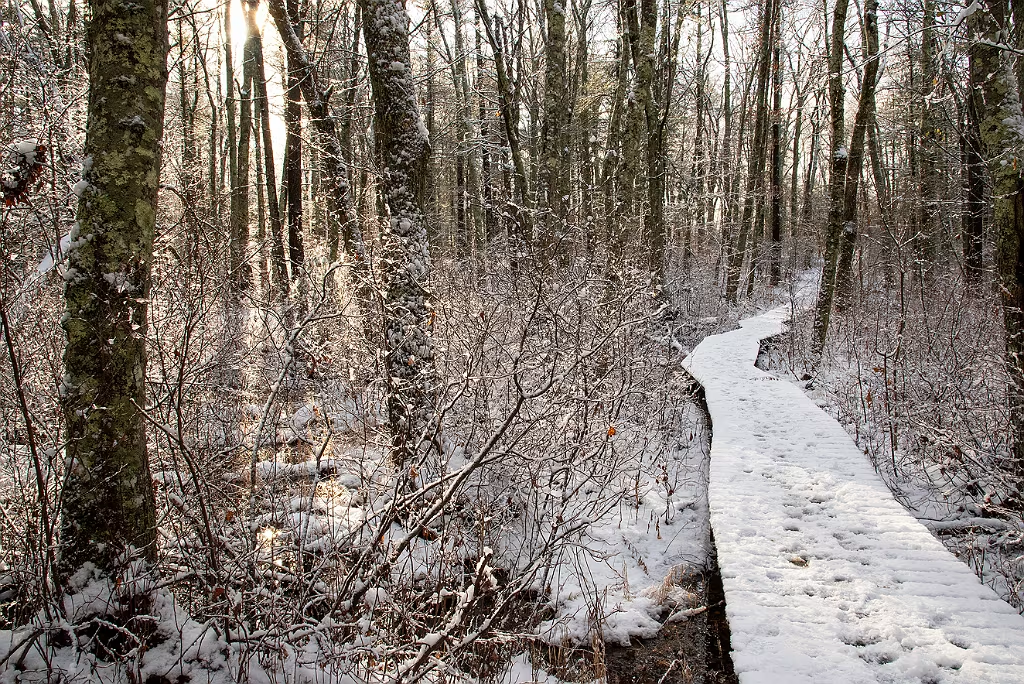
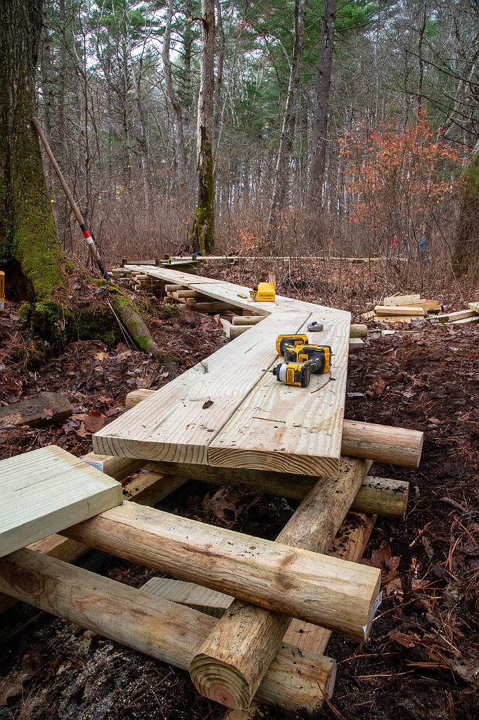
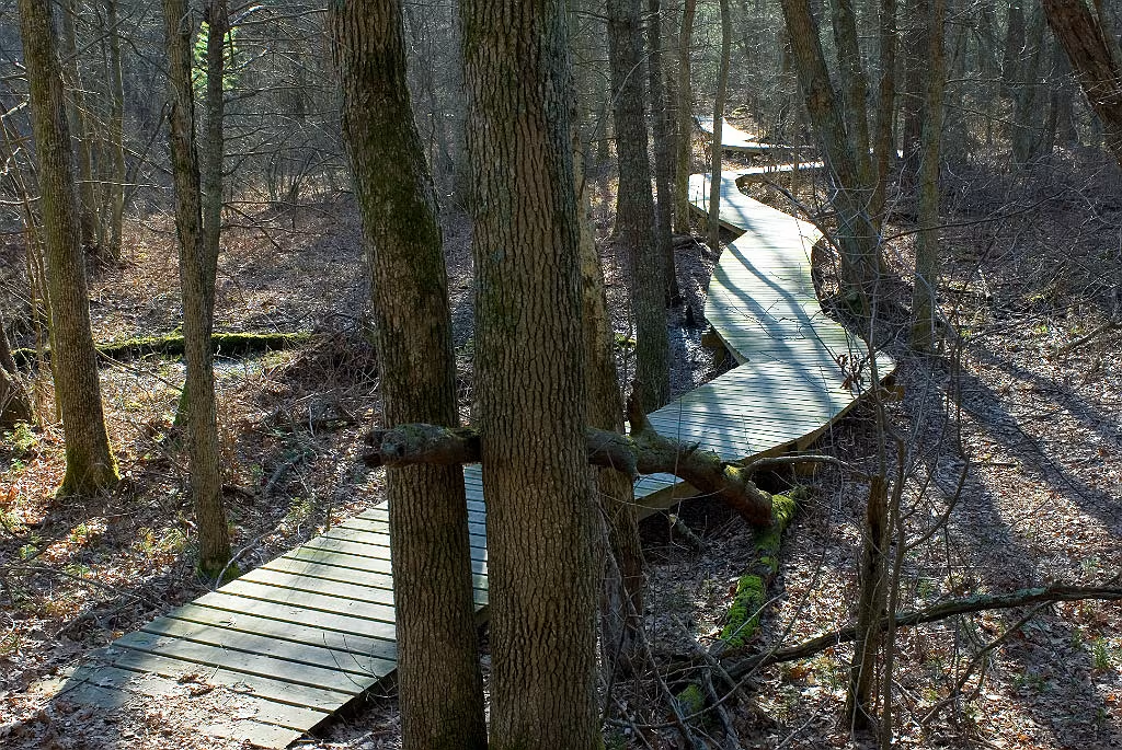
A new bog walk is being installed to replace the aging boardwalk on the Mary and Harry Todd Trail at Willow Brook Preserve. The new system employs tread planks suspended above the substrate and supported by cribbing. This design provides a simplified and resource-efficient structure that is faster to install, requires minimal maintenance, and reduces site disturbance, as no posts or footings are excavated into the ground.
New boardwalk on the Harry and Mary Todd trail. This new structure was made possible by the efforts of the Wildlands Trust Stewardship team, the Sierra Club, and many Wildland Trust volunteers.

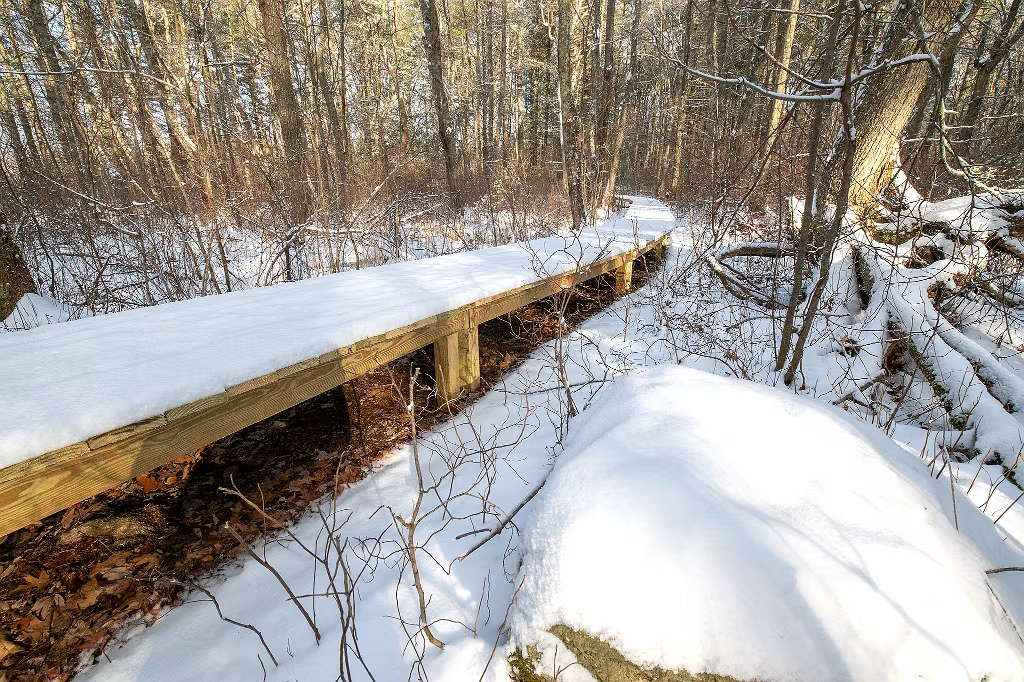
Boardwalk along the Todd Trail near Pudding Brook.
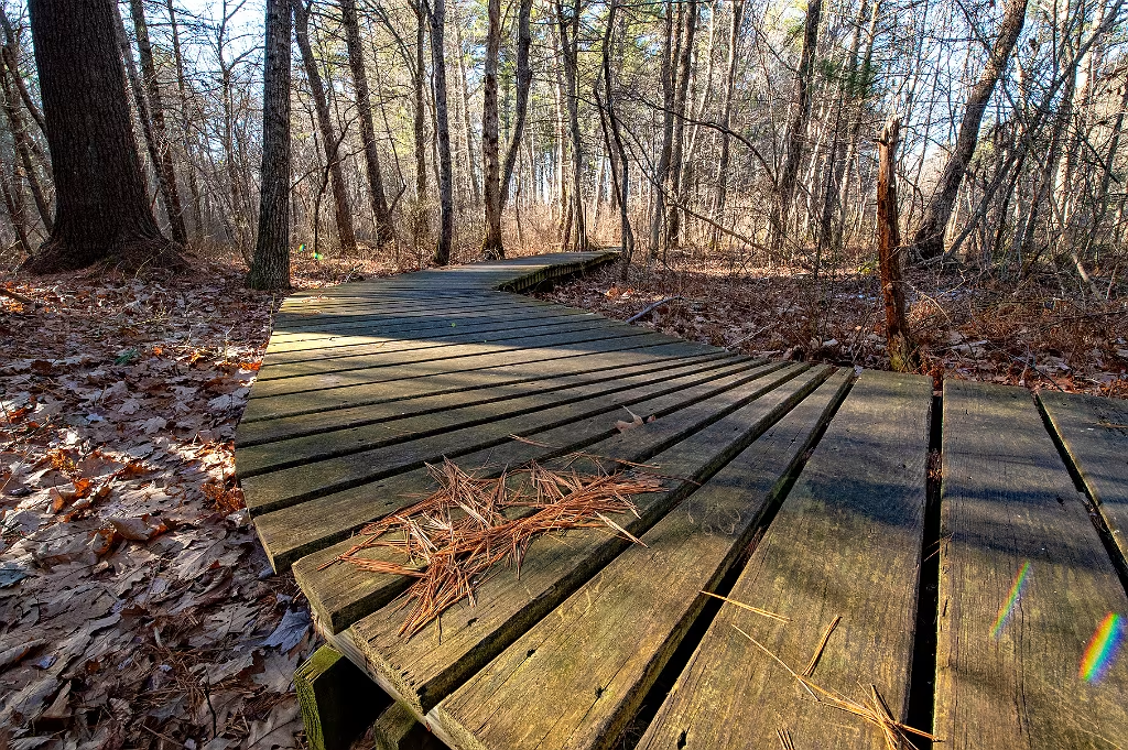
Boardwalk on the Harry and Mary Todd Trail at Willowbrook Farm.
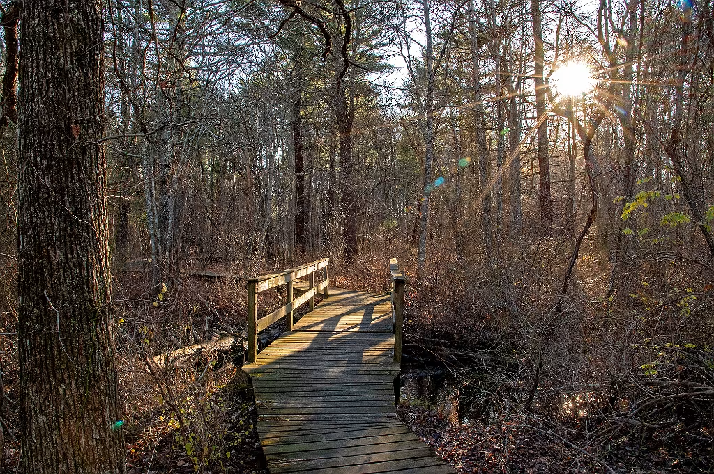
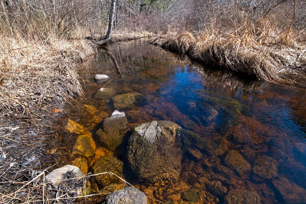
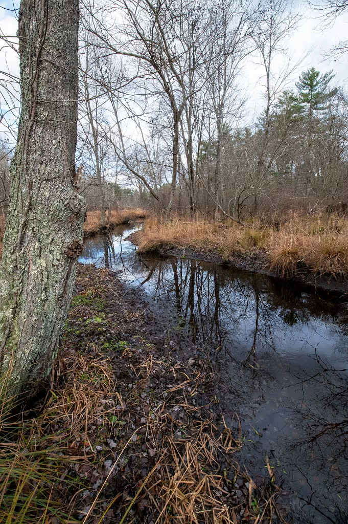
Harry and Mary Todd Trail bridge as it crosses Pudding Brook. Downstream, just beyond this bridge, Pudding Brook passes between two glacial kames as it flows towards Herring Brook.


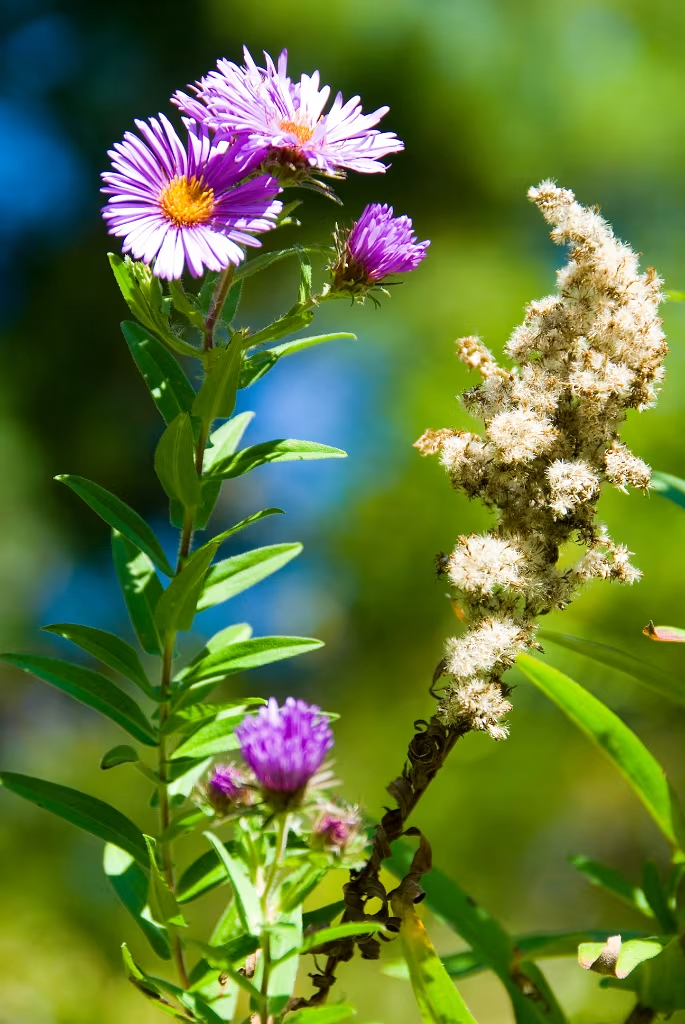
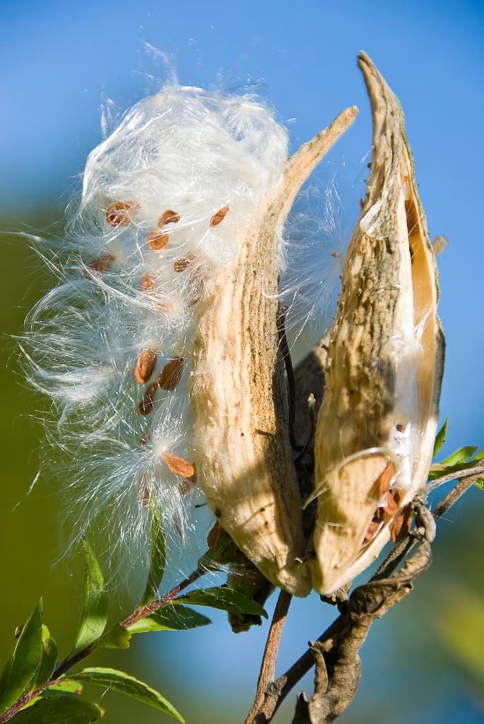
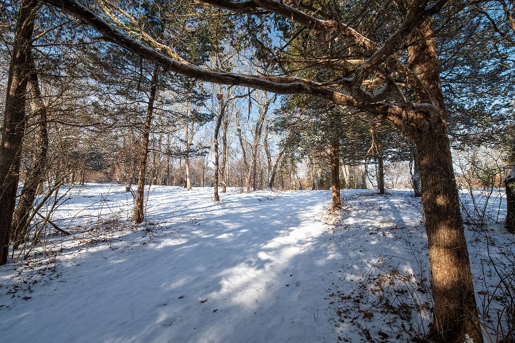
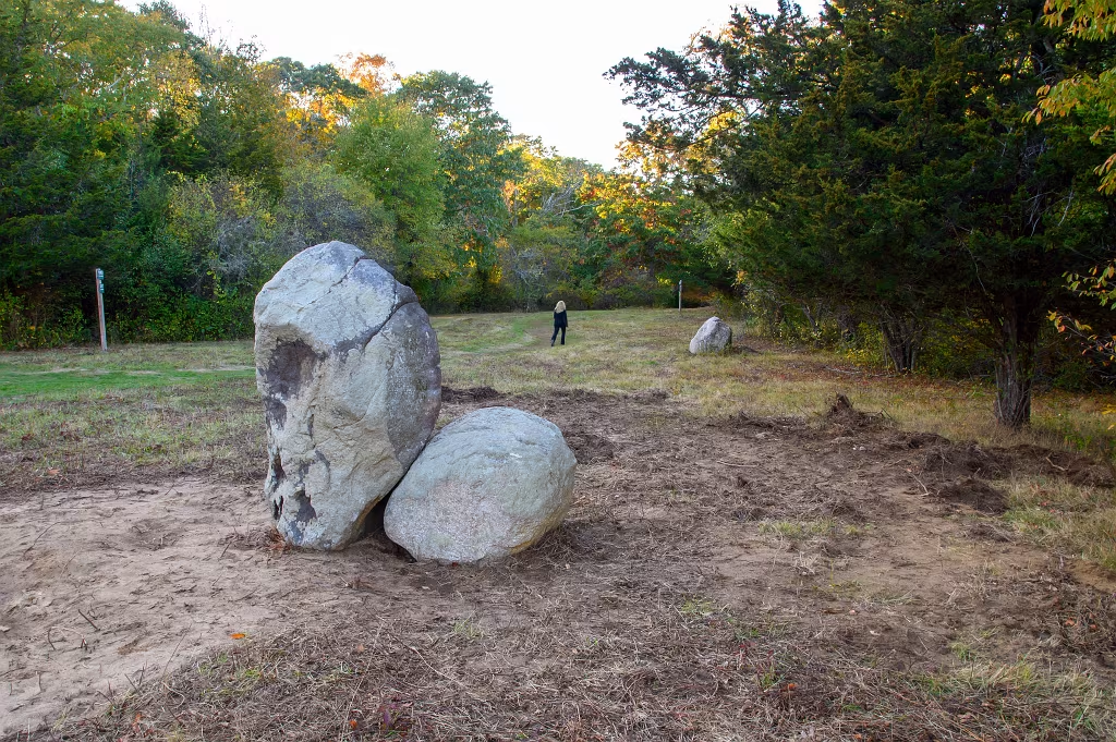
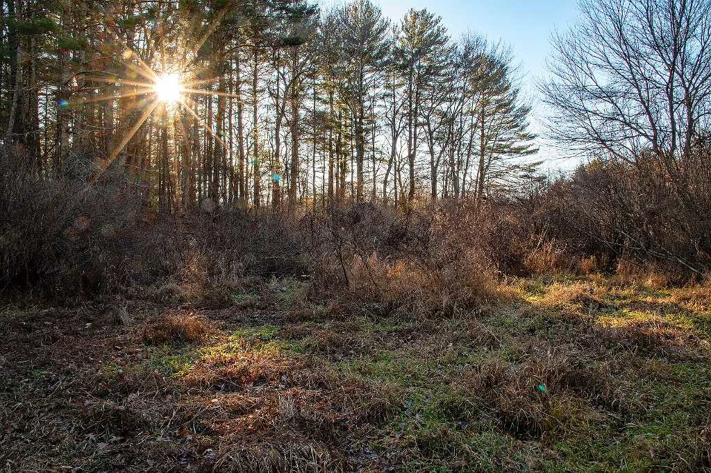
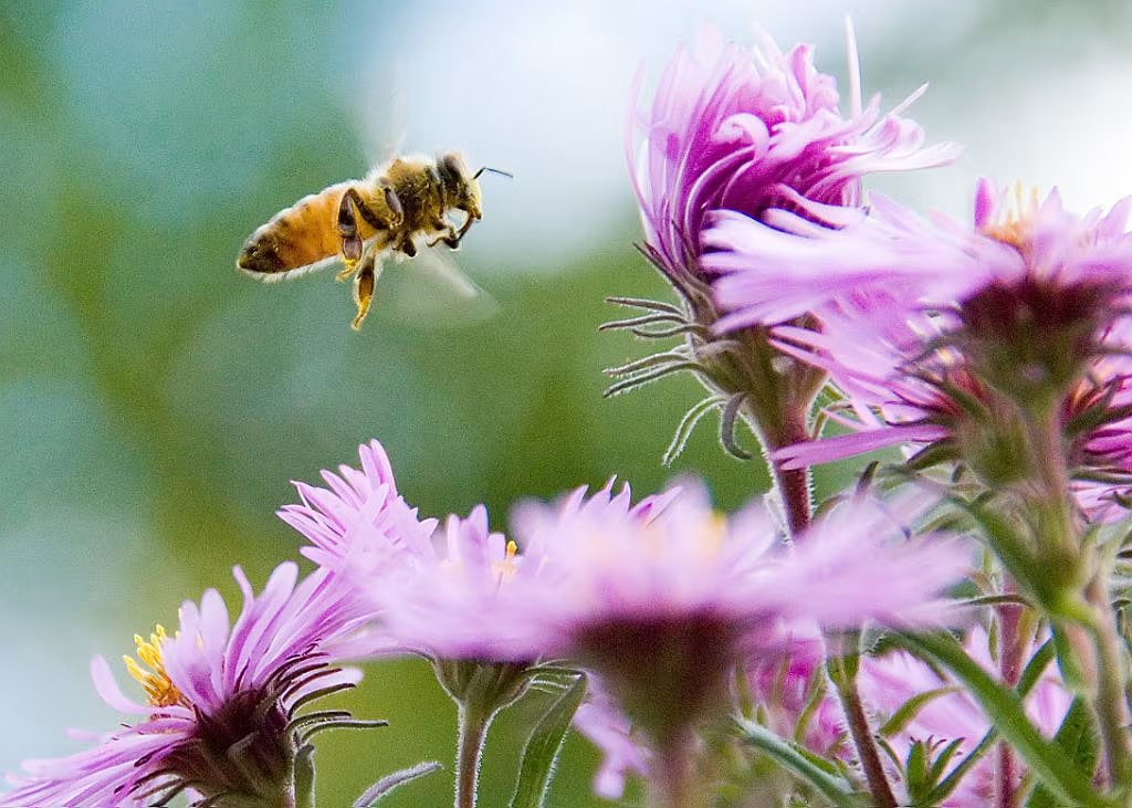
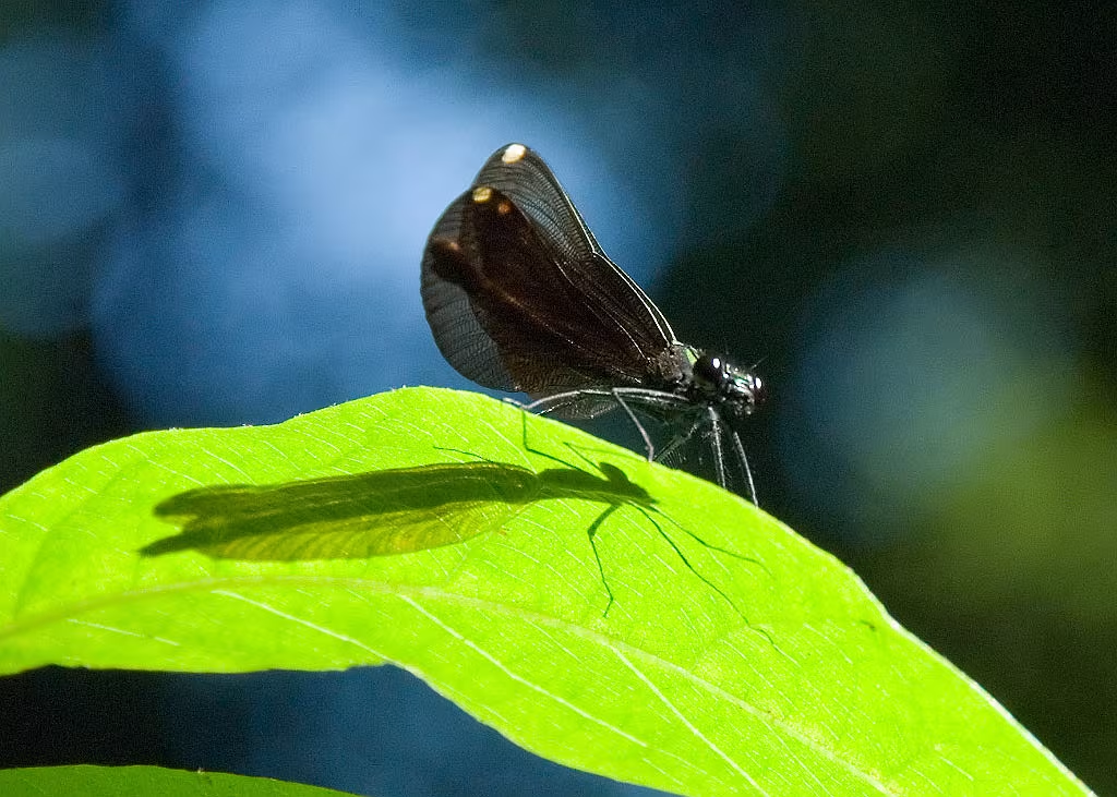
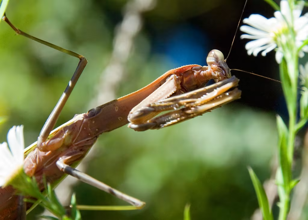
Willow Brook Farm Secondary Succession
<----- Click here
subgallery of photos showing Willow Brook Farm Secondary succession
8 images
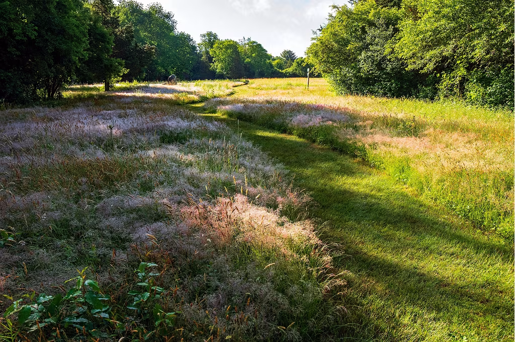
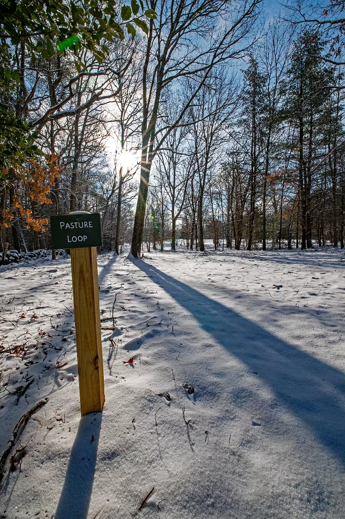
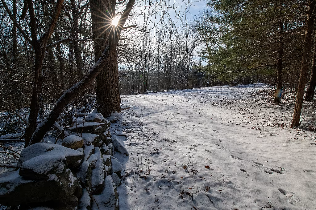
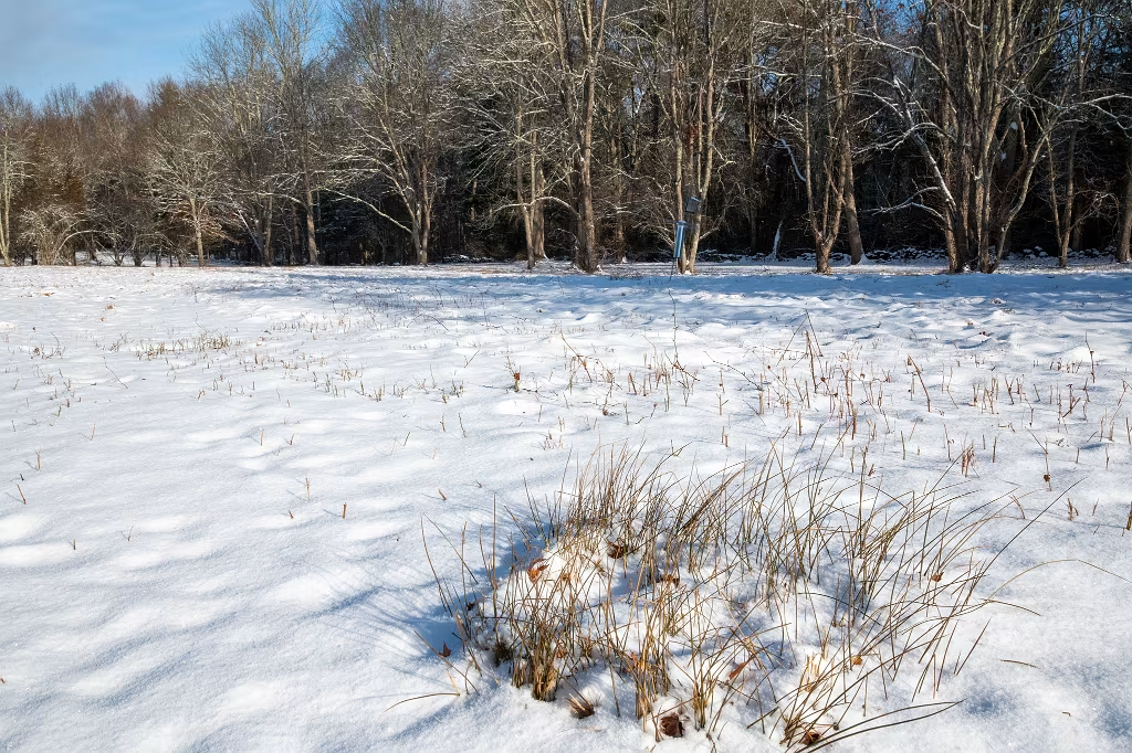
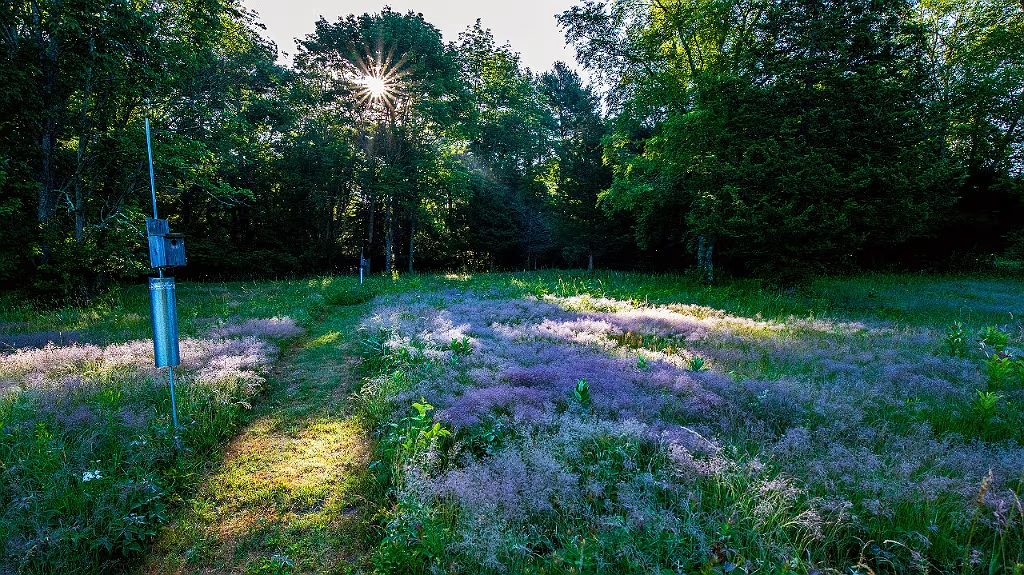
Pastures, Cow Paths, and Trails
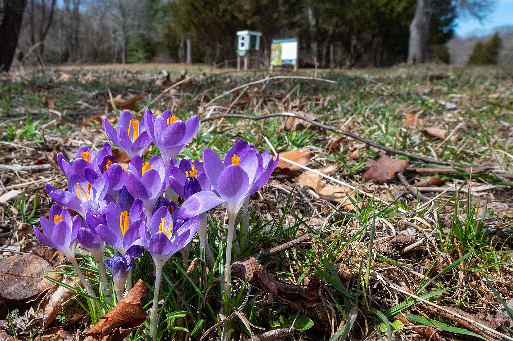
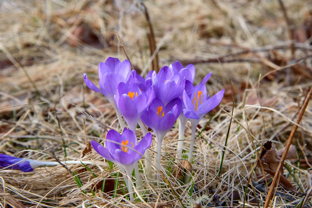
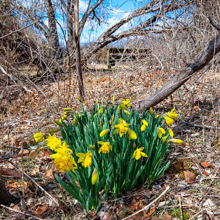
Crocus blooming in the Willow Brook Farm Pastures.
Two informative articles written by Skip Stuck on the history of Willow Brook Farm may be found on the WIldlands Trust web site:
www.wildlandstrust.org/news-blog/2024/4/11/human-history-of-wildlands-willow-brook-farm

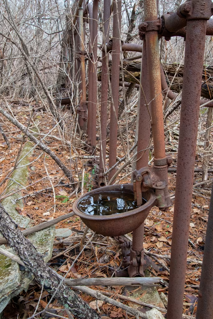
Still visible today are remnants from Willow Brooks agricultural past. These are old milking stanchions from the barn in prior photo (from the WIldlands Trust article by Skip Stuck).
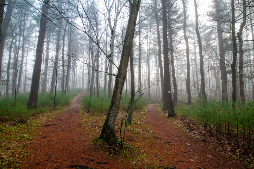
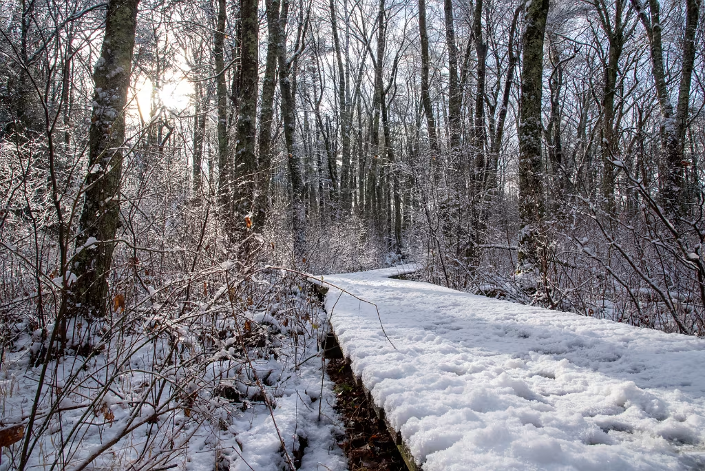
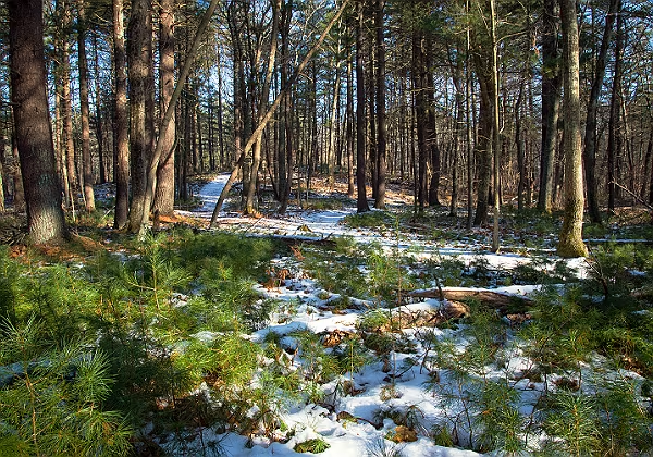
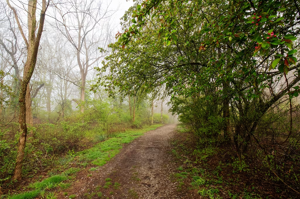
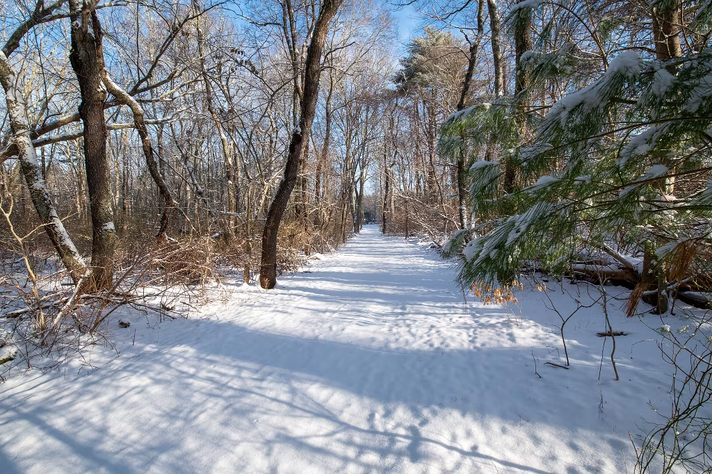
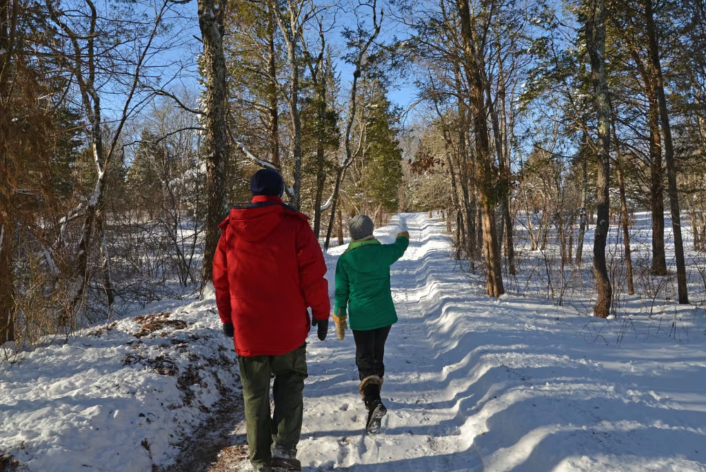
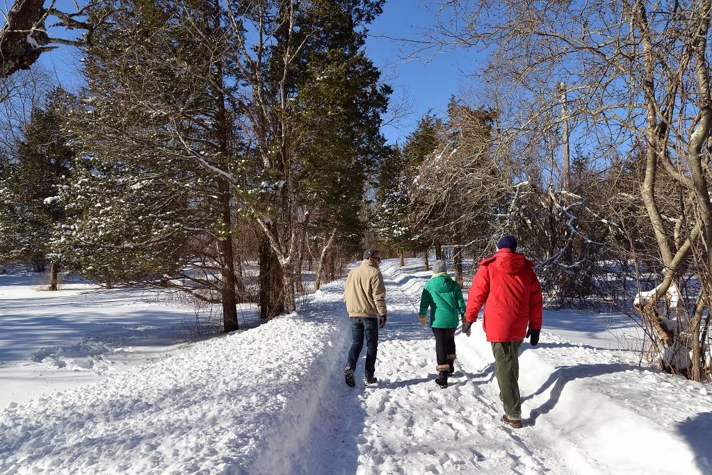
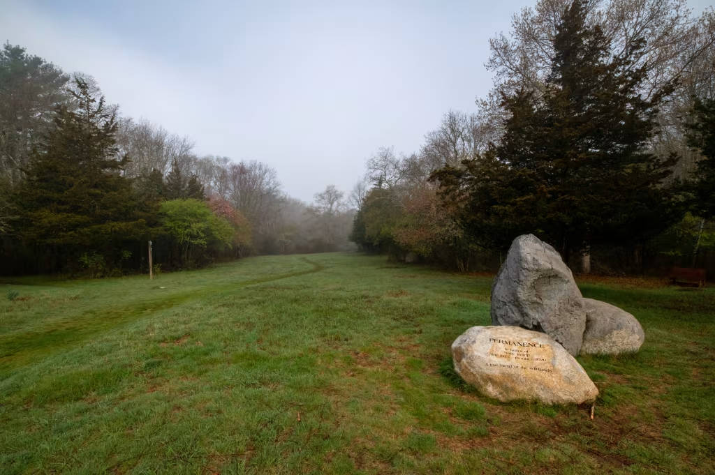
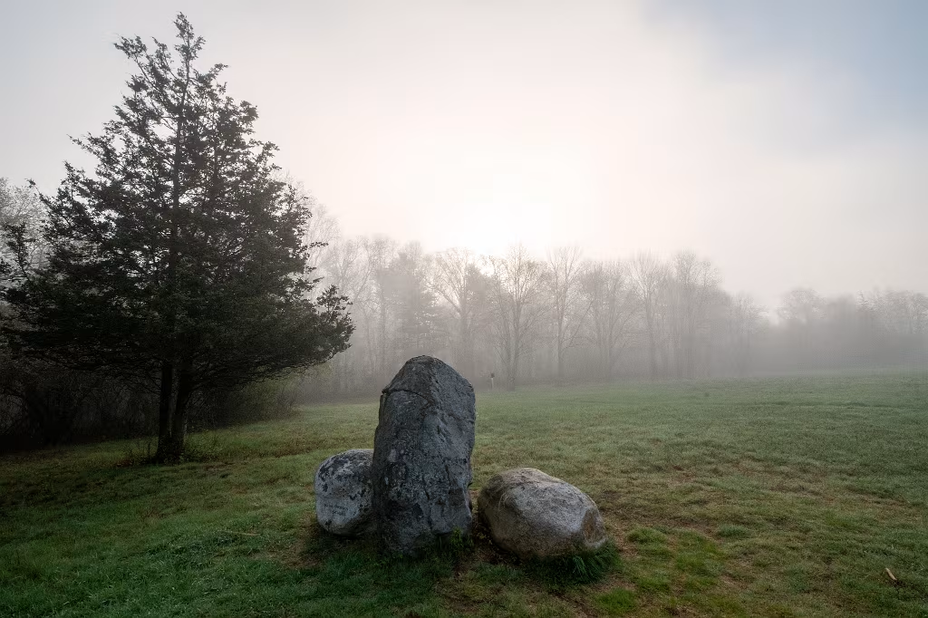
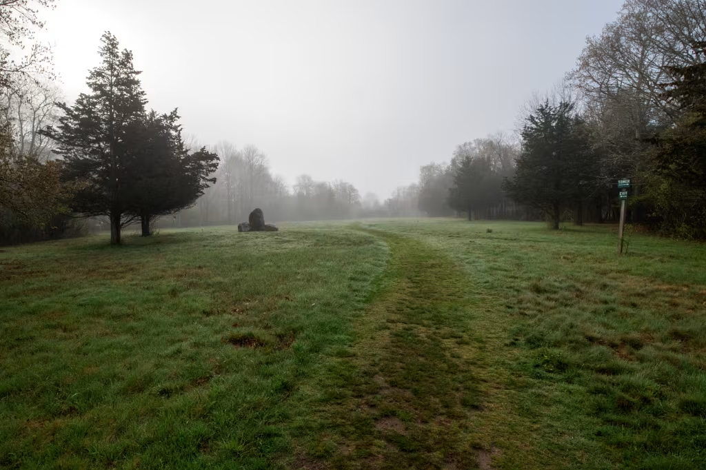
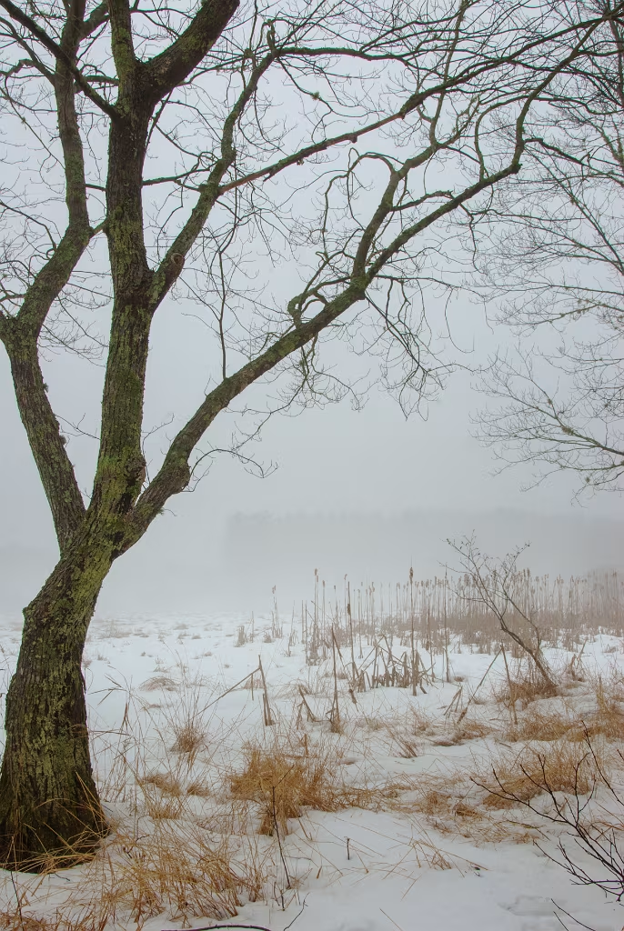
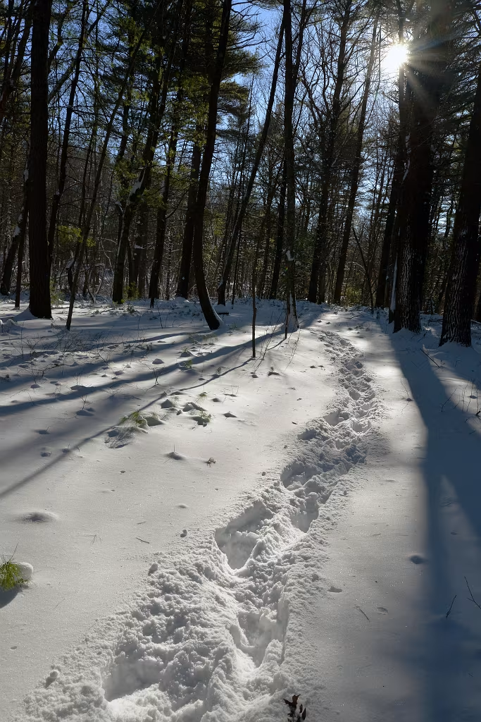
The Path Diverges in the Misty Woods.